


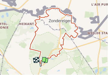

8,3 km | 8,8 km-effort


Utilisateur


Application GPS de randonnée GRATUITE
 SityTrail
IGN / Instituts géographiques
SityTrail World
Le monde est à vous
Randonnée Marche de 18,8 km à découvrir à Flandre, Anvers, Merksplas. Cette randonnée est proposée par LucThomaere.
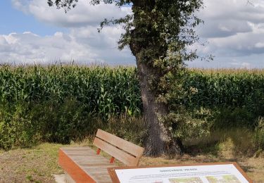
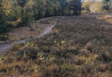
Weinig bebouwing, vele panorama's, de grensstreek op haar mooist.
Voor wie van panorama's houdt: vermijdt de periode dat de maïs op haar hoogst staat (september)
Marche

Vélo

Marche
Marche
Marche
Marche
Marche
Marche