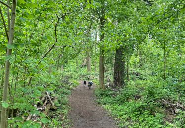
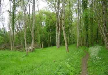
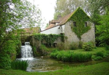
13,1 km | 16,6 km-effort
Rando départ de Frencq
Jeni Co'lor
Utilisateur
Longueur
16,1 km
Altitude max
174 m
Dénivelé positif
241 m
Km-Effort
19,3 km
Altitude min
31 m
Dénivelé négatif
242 m
Boucle
Oui
Date de création :
2021-09-25 13:07:22.68
Dernière modification :
2021-09-25 16:51:11.595
3h42
Difficulté : Moyen
Application GPS de randonnée GRATUITE
À propos
Randonnée Marche nordique de 16,1 km à découvrir à Hauts-de-France, Pas-de-Calais, Frencq. Cette randonnée est proposée par Jeni Co'lor.
Localisation
Pays :
France
Région :
Hauts-de-France
Département/Province :
Pas-de-Calais
Commune :
Frencq
Localité :
Unknown
Départ:(Dec)
Départ:(UTM)
407837 ; 5601785 (31U) N.
Commentaires
Randonnées à proximité
Du Witrepin à la Dordonne - Frencq
Marche
Difficile
(2)
Frencq,
Hauts-de-France,
Pas-de-Calais,
France
3h 19min
Oui
Étaples - La forestière
Marche
Facile
Étaples,
Hauts-de-France,
Pas-de-Calais,
France
4,4 km | 5,5 km-effort
1h 26min
Oui
Le bois de Longvilliers
V.T.T.
Moyen
Longvilliers,
Hauts-de-France,
Pas-de-Calais,
France
11,2 km | 13,5 km-effort
1h 19min
Oui
Le bois de Longvilliers
Marche
Moyen
Longvilliers,
Hauts-de-France,
Pas-de-Calais,
France
11,2 km | 13,5 km-effort
2h 49min
Oui
Du Witrepin à la Dordonne - Frencq
V.T.T.
Moyen
Frencq,
Hauts-de-France,
Pas-de-Calais,
France
13,1 km | 16,6 km-effort
1h 30min
Oui
Les Hauts de Tubersent
V.T.T.
Facile
Tubersent,
Hauts-de-France,
Pas-de-Calais,
France
8,6 km | 10,1 km-effort
1h 0min
Oui
Les Hauts de Tubersent
Marche
Moyen
Tubersent,
Hauts-de-France,
Pas-de-Calais,
France
8,6 km | 10,1 km-effort
2h 4min
Oui
Le littoral de Etaples à Rang du Fliers
V.T.T.
Moyen
Étaples,
Hauts-de-France,
Pas-de-Calais,
France
34 km | 36 km-effort
3h 0min
Non
9kTubersent
Marche
Moyen
Tubersent,
Hauts-de-France,
Pas-de-Calais,
France
9 km | 10,6 km-effort
2h 25min
Oui