18,9 km | 24 km-effort
20210925
sst
Utilisateur
Longueur
4,6 km
Altitude max
328 m
Dénivelé positif
58 m
Km-Effort
5,4 km
Altitude min
259 m
Dénivelé négatif
88 m
Boucle
Non
Date de création :
2021-09-25 09:52:38.104
Dernière modification :
2021-09-25 10:29:23.056
21m
Difficulté : Facile
Application GPS de randonnée GRATUITE
À propos
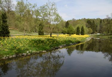
Randonnée Randonnée équestre de 4,6 km à découvrir à Wallonie, Namur, Ciney. Cette randonnée est proposée par sst.
Localisation
Pays :
Belgique
Région :
Wallonie
Département/Province :
Namur
Commune :
Ciney
Localité :
Unknown
Départ:(Dec)
Départ:(UTM)
656209 ; 5568863 (31U) N.
Commentaires
Randonnées à proximité
chevetogne ac 2
Marche
Facile
(1)
Ciney,
Wallonie,
Namur,
Belgique
9,7 km | 12,2 km-effort
3h 19min
Oui
CINEY- Chapois- Promenade des Etangs de Happe
Marche
Très facile
(3)
Ciney,
Wallonie,
Namur,
Belgique
8,1 km | 9,8 km-effort
2h 1min
Oui
Serinchamps: promenade de Franc Lieu
A pied
Facile
Ciney,
Wallonie,
Namur,
Belgique
5,3 km | 6,8 km-effort
1h 32min
Oui
Chapois: Promenade des Tiennes
A pied
Facile
Ciney,
Wallonie,
Namur,
Belgique
10,4 km | 13,3 km-effort
3h 1min
Oui
Chapois: Promenade des étangs de Happe
A pied
Facile
(3)
Ciney,
Wallonie,
Namur,
Belgique
8 km | 9,7 km-effort
2h 12min
Oui
marche Mont -Gauthier
Marche
Moyen
(1)
Rochefort,
Wallonie,
Namur,
Belgique
20 km | 25 km-effort
4h 12min
Non
Serinchamps Humain
Marche
Facile
(3)
Ciney,
Wallonie,
Namur,
Belgique
9,6 km | 11,9 km-effort
1h 57min
Oui