
Jazennes

Gef50
Utilisateur

Longueur
8,5 km

Altitude max
53 m

Dénivelé positif
48 m

Km-Effort
9,1 km

Altitude min
38 m

Dénivelé négatif
49 m
Boucle
Oui
Date de création :
2021-09-21 11:56:48.249
Dernière modification :
2021-09-22 07:46:59.58
2h07
Difficulté : Moyen

Application GPS de randonnée GRATUITE
À propos
Randonnée Marche de 8,5 km à découvrir à Nouvelle-Aquitaine, Charente-Maritime, Jazennes. Cette randonnée est proposée par Gef50.
Description
Au départ de la mairie de Jazennes (parking derrière la mairie)
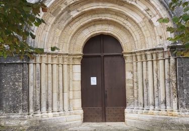
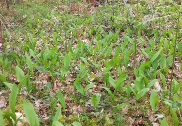
Belle église romane au départ. Circuit au milieu des vignes et des bois.
Localisation
Pays :
France
Région :
Nouvelle-Aquitaine
Département/Province :
Charente-Maritime
Commune :
Jazennes
Localité :
Unknown
Départ:(Dec)
Départ:(UTM)
685889 ; 5050460 (30T) N.
Commentaires
Randonnées à proximité

Tanzac


Marche
Moyen
Tanzac,
Nouvelle-Aquitaine,
Charente-Maritime,
France

9,2 km | 9,9 km-effort
2h 18min
Oui

villars en pons


Marche
Facile
Pons,
Nouvelle-Aquitaine,
Charente-Maritime,
France

2,3 km | 2,5 km-effort
2h 52min
Oui

Saint Léger muguet


Marche
Très difficile
Saint-Léger,
Nouvelle-Aquitaine,
Charente-Maritime,
France

22 km | 24 km-effort
2h 52min
Non

Villars en pon


Marche
Très facile
Villars-en-Pons,
Nouvelle-Aquitaine,
Charente-Maritime,
France

9,9 km | 11,3 km-effort
2h 53min
Oui

027 Pons Mirabeau


Marche
Très facile
Pons,
Nouvelle-Aquitaine,
Charente-Maritime,
France

28 km | 32 km-effort
6h 57min
Non

roro


Marche
Facile
Pons,
Nouvelle-Aquitaine,
Charente-Maritime,
France

2,7 km | 3,1 km-effort
2h 14min
Oui

autour de villas en pons


Marche
Facile
Pons,
Nouvelle-Aquitaine,
Charente-Maritime,
France

1,5 km | 1,7 km-effort
2h 54min
Oui

valliere mazaerolles


Marche
Moyen
Mazerolles,
Nouvelle-Aquitaine,
Charente-Maritime,
France

5,9 km | 6,4 km-effort
1h 8min
Oui

sT Léger Rando Matin


Autre activité
Très facile
Saint-Léger,
Nouvelle-Aquitaine,
Charente-Maritime,
France

13,7 km | 15,1 km-effort
3h 53min
Oui


 SityTrail


