


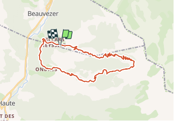

12,1 km | 20 km-effort

Utilisateur


Application GPS de randonnée GRATUITE
 SityTrail
IGN / Instituts géographiques
SityTrail World
Le monde est à vous
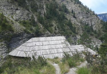
Randonnée Marche de 20 km à découvrir à Provence-Alpes-Côte d'Azur, Alpes-de-Haute-Provence, Beauvezer. Cette randonnée est proposée par Christiancordin.
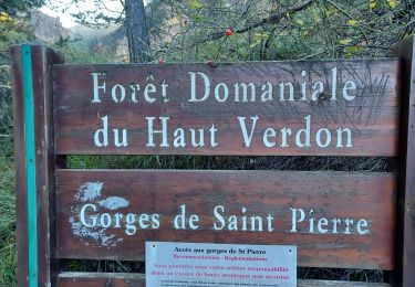
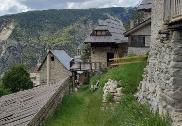
Villars heyssier-chapelle St pierre-gorges de St Pierre-cabane de Gongerman-plateau de Pisse-en l'air-col de l'Orgéas-Ondres-le Plan.


Marche
Marche

Marche
Marche
Marche

Marche
Marche
Marche
Marche