


 - Photo 21")
 - Photo 22")
 - Photo 23")
 - Photo 24")
 - Photo 25")
 - Photo 26")
 - Photo 27")
 - Photo 28")
 - Photo 29")
 - Photo 30")
 - Photo 31")
 - Photo 32")

9,4 km | 11 km-effort

Utilisateur


Application GPS de randonnée GRATUITE
 SityTrail
IGN / Instituts géographiques
SityTrail World
Le monde est à vous
Randonnée Marche de 11,4 km à découvrir à Centre-Val de Loire, Loir-et-Cher, Villiers-sur-Loir. Cette randonnée est proposée par guydu41.
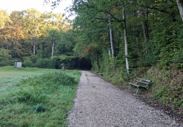
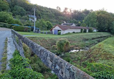
Beau parcours autour de Villiers-sur-Loir sur le circuit Promenade et Randonnée balisé jaune.
Le chemin autour du plan d'eau est juste magnifique.
Départ/Arrivée depuis la place devant la Mairie.
 - Photo 1")
 - Photo 2")
 - Photo 3")
 - Photo 4")
 - Photo 5")
 - Photo 6")
 - Photo 7")
 - Photo 8")
 - Photo 9")
 - Photo 10")
 - Photo 11")
 - Photo 12")
 - Photo 13")
 - Photo 14")
 - Photo 15")
 - Photo 16")
 - Photo 17")
 - Photo 18")
 - Photo 19")
 - Photo 20")
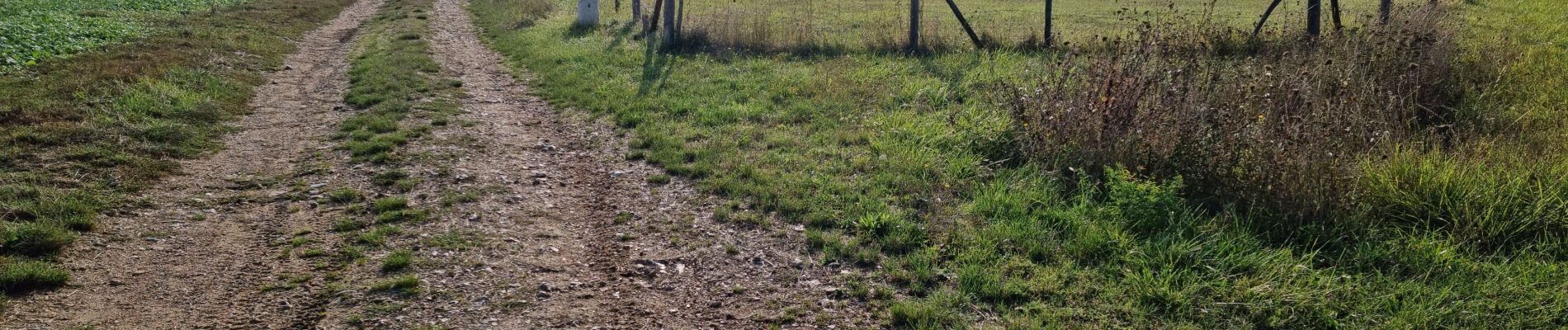
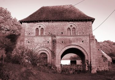
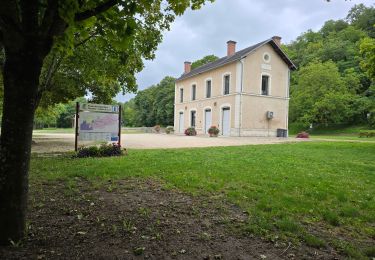
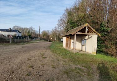
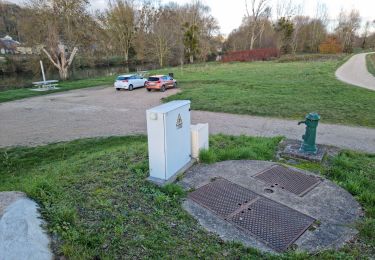
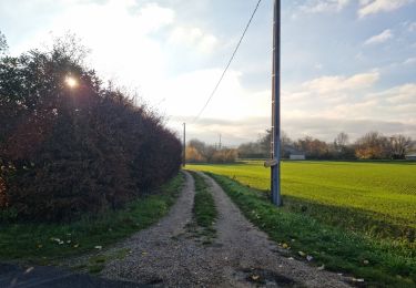
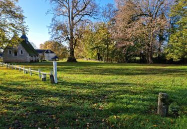
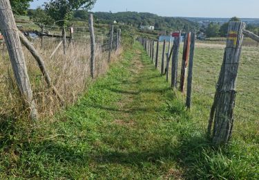
32 photos au total. Cliquez sur une photo pour les afficher toutes dans la galerie.
A pied
Marche
Marche
Marche
Marche
Marche
Marche
Marche
Marche