


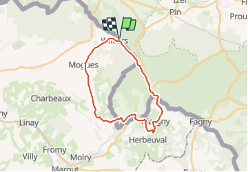

5,9 km | 7,1 km-effort


Utilisateur


Application GPS de randonnée GRATUITE
 SityTrail
IGN / Instituts géographiques
SityTrail World
Le monde est à vous
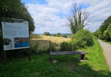
Randonnée Marche de 23 km à découvrir à Wallonie, Luxembourg, Florenville. Cette randonnée est proposée par cravattep.
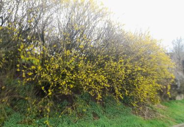
Les premiers km excellents
Apres Orval la partie côté France bcp trop d'asphalte 👹
La traversée des petits villages valent le coup.
Marche
Marche
Marche

Marche
Marche
Marche
Marche
A pied
Marche