


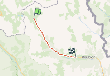

10,2 km | 24 km-effort


Utilisateur


Application GPS de randonnée GRATUITE
 SityTrail
IGN / Instituts géographiques
SityTrail World
Le monde est à vous
Randonnée Raquettes à neige de 12,3 km à découvrir à Provence-Alpes-Côte d'Azur, Hautes-Alpes, Névache. Cette randonnée est proposée par MathieuBourgois.
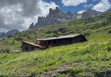
-Refuge de Laval 3.4km
-Chapelle Saint-Marie 7.1km et 13D
-Névache 12km et 33D
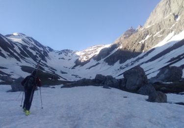
Ski de randonnée

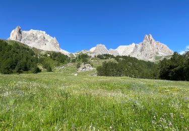
Marche

Autre activité

Marche

Marche

Marche
Marche

sport

Marche