


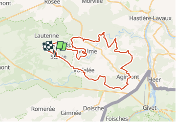

25 km | 31 km-effort


Utilisateur


Application GPS de randonnée GRATUITE
 SityTrail
IGN / Instituts géographiques
SityTrail World
Le monde est à vous
Randonnée V.T.T. de 38 km à découvrir à Wallonie, Namur, Philippeville. Cette randonnée est proposée par Forain.
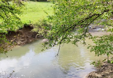
C'est un parcours qui provient d'un autre site et que j"ai roulé ce 01-04-2017 après un départ calme, s"enchaînent, dans un festival, les montées et les descentes. Avec de superbes bois, passages à gués et points de vues, A ne pas faire en hiver.

Marche
Marche

Marche
Marche
Marche
Marche
Marche
Marche
Marche