


13,6 km | 17 km-effort


Utilisateur


Application GPS de randonnée GRATUITE
 SityTrail
IGN / Instituts géographiques
SityTrail World
Le monde est à vous
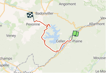
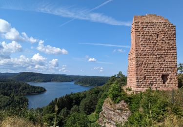
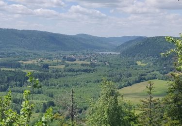
Randonnée Randonnée équestre de 15,9 km à découvrir à Grand Est, Vosges, Celles-sur-Plaine. Cette randonnée est proposée par FETuilerie.
Randonnée de 2 jours, retour au départ du Gîte de la Crémaillotte, direction : Ferme équestre de la Tuilerie à Pexonne.
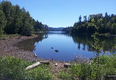
Avec baignade au lac avant de rentrer

Randonnée équestre
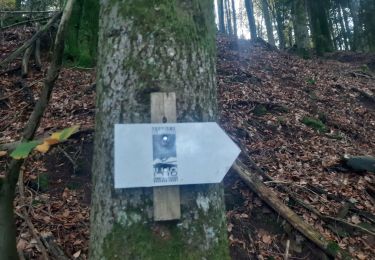
Marche
Marche
Marche
Marche

Randonnée équestre
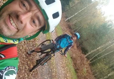
V.T.T.
V.T.T.
Marche