


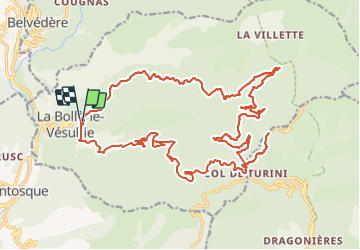

16,6 km | 33 km-effort


Utilisateur


Application GPS de randonnée GRATUITE
 SityTrail
IGN / Instituts géographiques
SityTrail World
Le monde est à vous
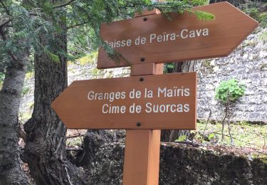
Randonnée V.T.C. de 31 km à découvrir à Provence-Alpes-Côte d'Azur, Alpes-Maritimes, La Bollène-Vésubie. Cette randonnée est proposée par jpbaudoin.
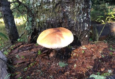
montée piste forestière de malagrata et la brasca jusqu'à vacheries de mantega (tome du pays) puis Camp d'argent (tarte aux myrtilles chez Jean Jean au restaurant de l'Authion) descente sur la Bollène par la route.

Marche
Marche

A pied

A pied

Marche
Marche
Raquettes à neige
Marche
Marche