


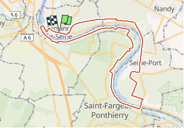

28 km | 32 km-effort


Utilisateur GUIDE


Application GPS de randonnée GRATUITE
 SityTrail
IGN / Instituts géographiques
SityTrail World
Le monde est à vous
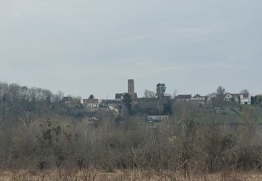
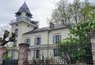
Randonnée Marche de 22 km à découvrir à Île-de-France, Essonne, Morsang-sur-Seine. Cette randonnée est proposée par chessyca.
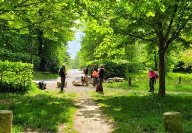
Joli parcours permettant de profiter du soleil le matin et de l'ombre bienvenue des sous bois en après midi .
Pas de difficultés particulières à signaler
Menée par Brigitte pour le Rcy


Course à pied

Marche

A pied
Marche

Marche
Marche
Marche
A pied
Marche