


7,5 km | 8,3 km-effort

Utilisateur


Application GPS de randonnée GRATUITE
 SityTrail
IGN / Instituts géographiques
SityTrail World
Le monde est à vous
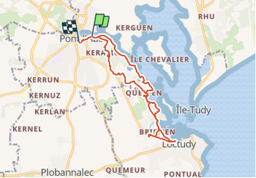
Randonnée Marche de 15,2 km à découvrir à Bretagne, Finistère, Pont-l'Abbé. Cette randonnée est proposée par chrifor.
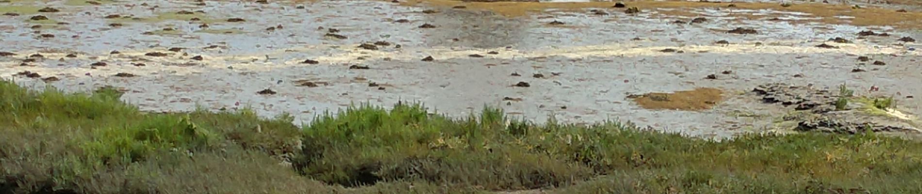
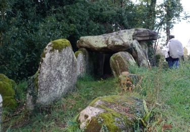
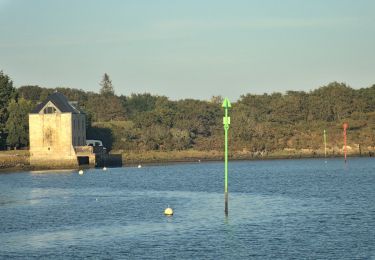
La faune et la flore de l'estuaire en passant par "le menhir mouillé". Possibilité d'aller visiter l'Ile Tudy si le temps et les horaires du bac le permettent.
A boucler par temps sec, c'est mieux!
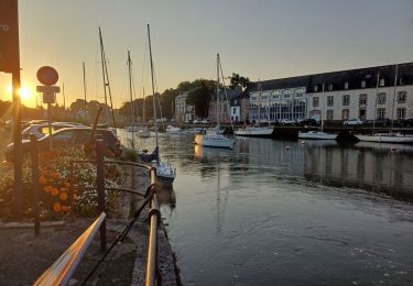
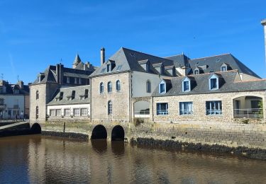
 du même nom - Photo 1")
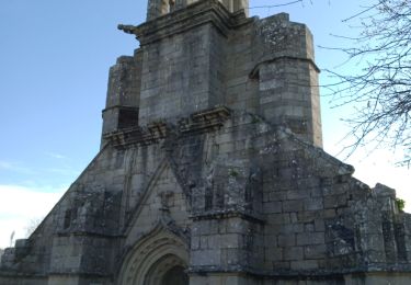
 du même nom - Photo 2")
 du même nom - Photo 3")

Marche
Marche
Marche
Marche


sport
A pied
Marche
