


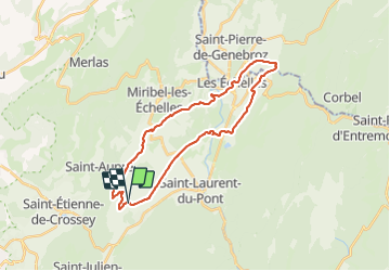


12,7 km | 18 km-effort


Utilisateur


Application GPS de randonnée GRATUITE
 SityTrail
IGN / Instituts géographiques
SityTrail World
Le monde est à vous
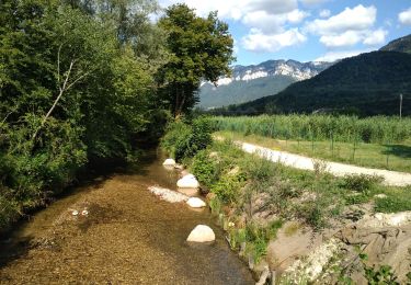
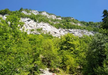
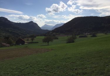
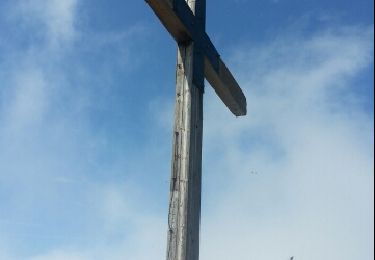
Randonnée V.T.C. de 27 km à découvrir à Auvergne-Rhône-Alpes, Isère, Saint-Joseph-de-Rivière. Cette randonnée est proposée par flupke.
Marche

Randonnée équestre
Randonnée équestre
Marche
Marche
Marche
Marche
Marche
Autre activité