


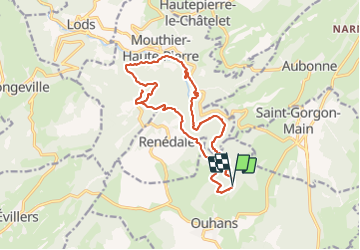

14,8 km | 23 km-effort

Utilisateur


Application GPS de randonnée GRATUITE
 SityTrail
IGN / Instituts géographiques
SityTrail World
Le monde est à vous
Randonnée Marche de 16,5 km à découvrir à Bourgogne-Franche-Comté, Doubs, Ouhans. Cette randonnée est proposée par fab0202.
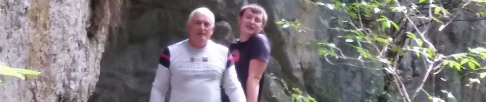
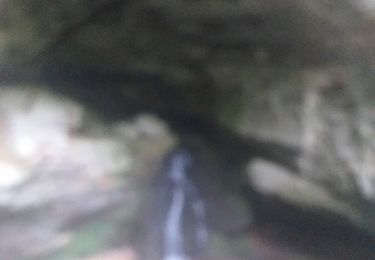
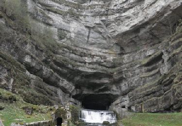
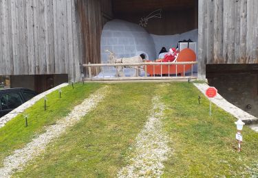
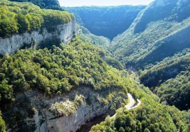
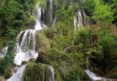
belle rando dans les gorges noailles avec differents points de vue sur des cascades, sources, grotte des faux monnayeurs et belvederes. randonnée ombragée avec pas mal de forêt.


Marche

Marche
Marche
Marche
Marche

A pied

Marche
Marche
Marche