


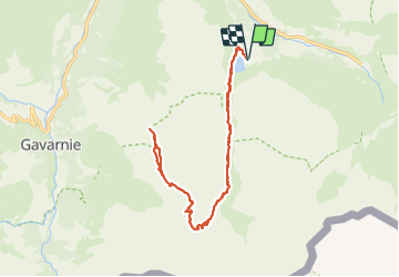

19,8 km | 35 km-effort


Utilisateur


Application GPS de randonnée GRATUITE
 SityTrail
IGN / Instituts géographiques
SityTrail World
Le monde est à vous
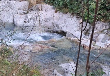
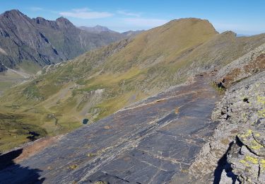
Randonnée Marche de 20 km à découvrir à Occitanie, Hautes-Pyrénées, Gavarnie-Gèdre. Cette randonnée est proposée par dawed311.
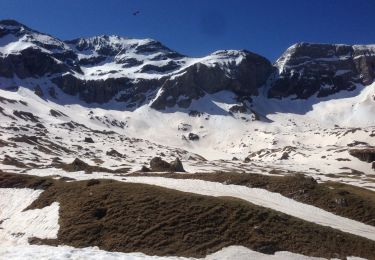
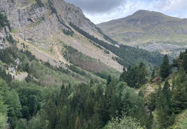
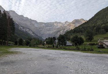
Longue randonnée, plus longue que depuis Gavarnie, mais avec moins de dénivelé. Mais quel beau belvédère sur les cirques de Gavarnie et d'Estaubé.

Marche

Marche
Marche

Marche
Marche
Marche
Marche
Marche
Marche