


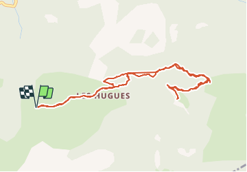

12,9 km | 21 km-effort

Utilisateur GUIDE


Application GPS de randonnée GRATUITE
 SityTrail
IGN / Instituts géographiques
SityTrail World
Le monde est à vous
Randonnée Marche de 5,9 km à découvrir à Provence-Alpes-Côte d'Azur, Alpes-de-Haute-Provence, Pontis. Cette randonnée est proposée par Specialized77.
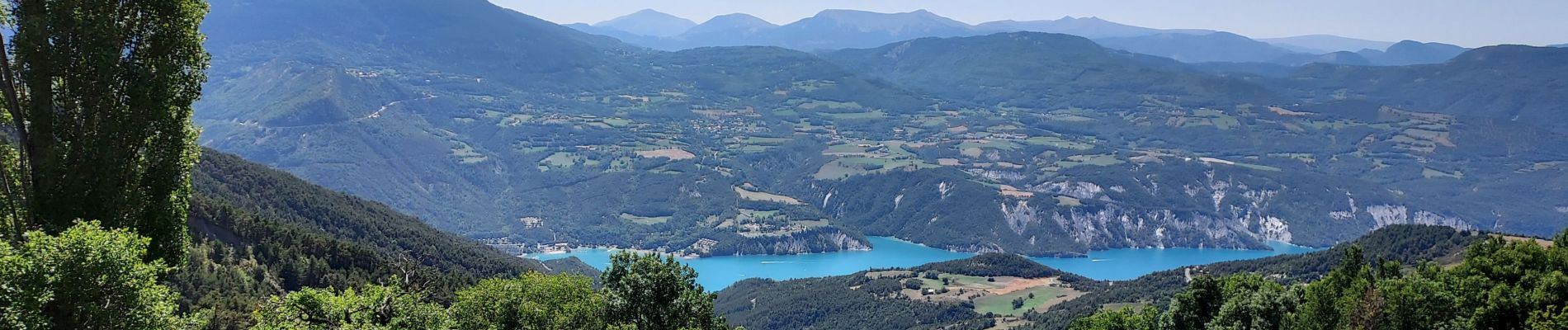
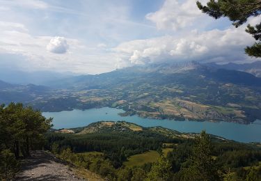
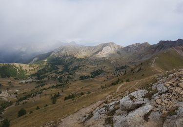
Panorama sur l'ensemble du lac de Serre Ponçon magnifique depuis les 2 belvédères du Morgonnet.


Marche

Marche

Marche

Marche
Marche

Marche

Marche
Marche
Marche