


7,7 km | 8,6 km-effort


Utilisateur


Application GPS de randonnée GRATUITE
 SityTrail
IGN / Instituts géographiques
SityTrail World
Le monde est à vous
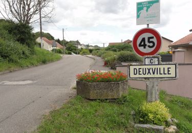
Randonnée Marche de 11,8 km à découvrir à Grand Est, Meurthe-et-Moselle, Dombasle-sur-Meurthe. Cette randonnée est proposée par DanielROLLET.
2021 08 26 9h05 à 11h30 - marche nordique Rando 54 - 10 personnes
Temps couvert et frais mais calme
A pied
Vélo électrique
Marche
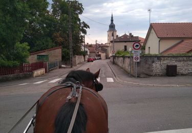
Attelage

Marche

V.T.T.

Marche

Marche nordique
Marche nordique