13,9 km | 18,3 km-effort
Saint Pourcin
Levant
Utilisateur
Longueur
648 km
Altitude max
479 m
Dénivelé positif
7619 m
Km-Effort
749 km
Altitude min
-9 m
Dénivelé négatif
7446 m
Boucle
Non
Date de création :
2021-07-27 09:19:13.527
Dernière modification :
2021-08-23 09:36:06.805
2h36
Difficulté : Très facile
Application GPS de randonnée GRATUITE
À propos
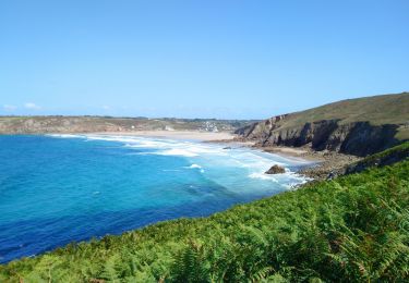
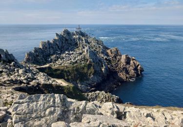
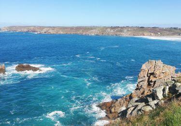
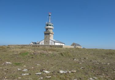
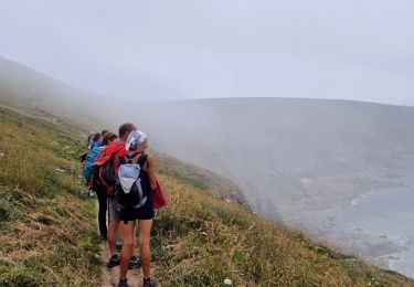
Randonnée Marche de 648 km à découvrir à Bretagne, Finistère, Plogoff. Cette randonnée est proposée par Levant .
Localisation
Pays :
France
Région :
Bretagne
Département/Province :
Finistère
Commune :
Plogoff
Localité :
Unknown
Départ:(Dec)
Départ:(UTM)
372099 ; 5321844 (30U) N.
Commentaires
Randonnées à proximité
TREK RCY GR34 J4 2022 Pointe du Raz/ baie des trépassés
Marche
Facile
Plogoff,
Bretagne,
Finistère,
France
3h 42min
Non
Pointe du Van - Pointe du Raz par le GR34 - 13.5km 310m 4h10 (40mn) - 2019 09 04
Marche
Moyen
Cléden-Cap-Sizun,
Bretagne,
Finistère,
France
13,5 km | 17,6 km-effort
4h 10min
Oui
la pointe du Raz
Marche
Difficile
Plogoff,
Bretagne,
Finistère,
France
5,3 km | 7 km-effort
2h 56min
Oui
plogoff loual
Marche
Facile
(1)
Plogoff,
Bretagne,
Finistère,
France
4,1 km | 5 km-effort
1h 8min
Oui
la pointe du raz Bretagne
Marche
Très facile
(1)
Plogoff,
Bretagne,
Finistère,
France
6,8 km | 9 km-effort
2h 19min
Oui
point du van
Marche
Moyen
(1)
Cléden-Cap-Sizun,
Bretagne,
Finistère,
France
10,6 km | 13,9 km-effort
Inconnu
Oui
POINTE DU RAZ
Marche
Facile
Cléden-Cap-Sizun,
Bretagne,
Finistère,
France
15,7 km | 20 km-effort
4h 38min
Oui
Circuit de la Pointe du Raz
A pied
Facile
(1)
Plogoff,
Bretagne,
Finistère,
France
8,8 km | 11,8 km-effort
2h 40min
Oui