


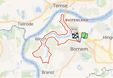

13,2 km | 14,6 km-effort

Utilisateur


Application GPS de randonnée GRATUITE
 SityTrail
IGN / Instituts géographiques
SityTrail World
Le monde est à vous
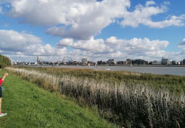
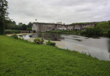
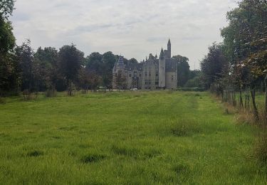
Randonnée Marche de 16,1 km à découvrir à Flandre, Anvers, Bornem. Cette randonnée est proposée par Ko-Rando.
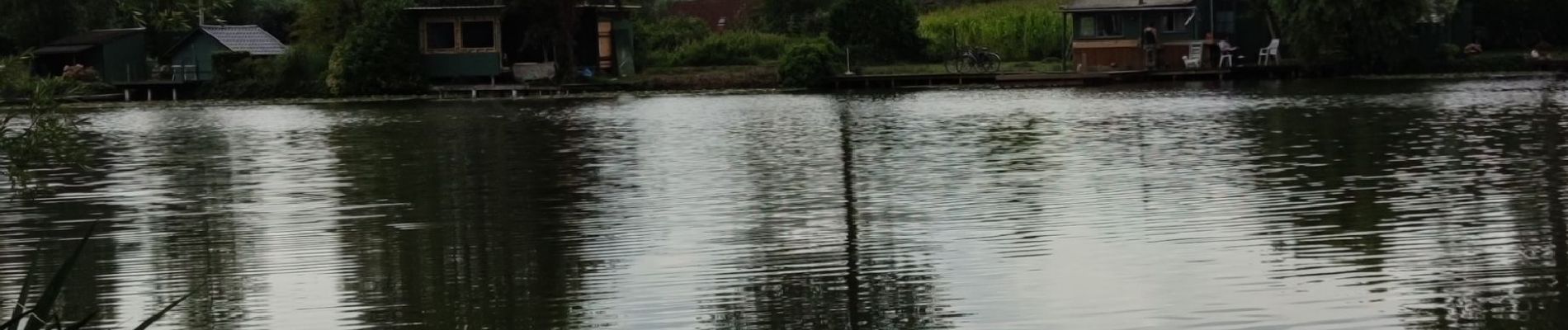
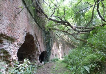
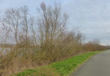
Très belle balade marquée par la forte humidité, les nombreux marécages et champs de maïs. Vous aurez l'occasion d'observer à quelques endroits le lac et ses petites maisonnettes typiques. Bornem ne vous laissera pas indifférent ...


A pied
A pied

Marche
Marche
Marche
Marche
Marche

A pied