


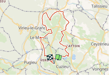

16,4 km | 21 km-effort


Utilisateur


Application GPS de randonnée GRATUITE
 SityTrail
IGN / Instituts géographiques
SityTrail World
Le monde est à vous
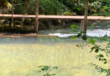
Randonnée V.T.T. de 18,4 km à découvrir à Auvergne-Rhône-Alpes, Ain, Cuzieu. Cette randonnée est proposée par jeannot01.
Rando essentiellement en gros chemin et sympa
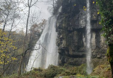
Pas de difficulté. La montée entre Artemare et St Martin sur le retour est raide. C'est le seul point difficile.
Possibilité de cumulé avec la rando Cuzieu-Vognes Mais là, on part sur une plus grosse rando.

V.T.T.
V.T.T.
Marche
V.T.T.

V.T.T.
Marche
V.T.T.
V.T.T.

Marche