


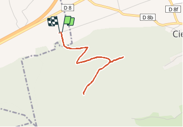

5 km | 6,4 km-effort


Utilisateur


Application GPS de randonnée GRATUITE
 SityTrail
IGN / Instituts géographiques
SityTrail World
Le monde est à vous
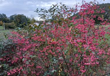
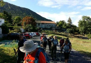
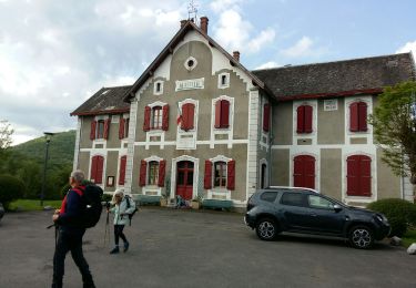
Randonnée Marche de 4,3 km à découvrir à Occitanie, Haute-Garonne, Huos. Cette randonnée est proposée par olivierGPS.
Décollage Parapente
248m dénivelé en 33 minutes jusqu'au 2ème deco
Dénivelé total fait 268m après 2ème décollage temps 1h15

Marche
Marche
Marche

Marche
A pied

V.T.T.
Marche
A pied
Marche