


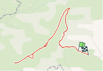


25 km | 41 km-effort

Utilisateur


Application GPS de randonnée GRATUITE
 SityTrail
IGN / Instituts géographiques
SityTrail World
Le monde est à vous
Randonnée Marche de 7,9 km à découvrir à Nouvelle-Aquitaine, Pyrénées-Atlantiques, Jaxu. Cette randonnée est proposée par Vadim.
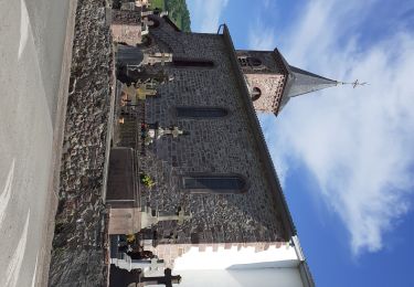
Sur les crêtes, au dessus du Camping de Borda Lodge -


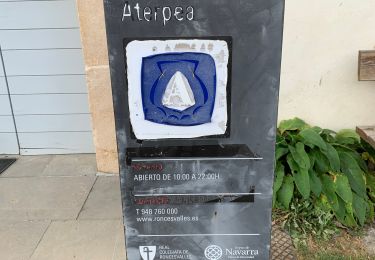
37 photos au total. Cliquez sur une photo pour les afficher toutes dans la galerie.
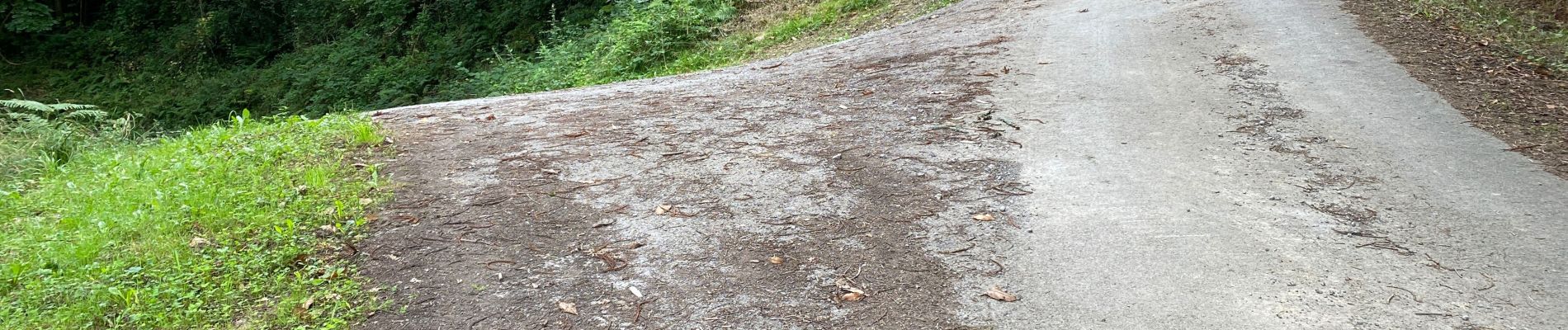
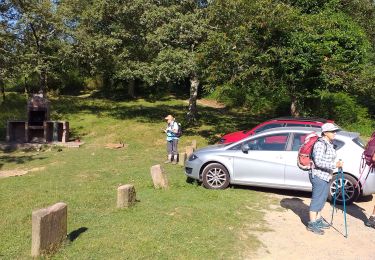
Marche
Marche

Marche
Marche

Marche

Marche

Marche

Marche
Marche