


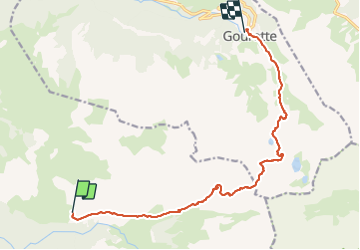

14,1 km | 24 km-effort

Utilisateur


Application GPS de randonnée GRATUITE
 SityTrail
IGN / Instituts géographiques
SityTrail World
Le monde est à vous
Randonnée Marche de 15 km à découvrir à Nouvelle-Aquitaine, Pyrénées-Atlantiques, Laruns. Cette randonnée est proposée par LEGUE.
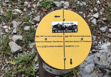
Grosse étape découpée en 3 temps
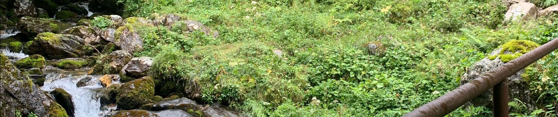
1ère partie montée dans le brouillard jusqu’à 2100 mètres d’altitude
2ème partie sous le soleil à l’Hourquette d’Arre
3ème étape descente dans le brouillard jusqu’à Gourette


Marche

Marche

Course à pied


sport

Marche
Marche
Marche

sport
Marche