


25 km | 58 km-effort


Utilisateur


Application GPS de randonnée GRATUITE
 SityTrail
IGN / Instituts géographiques
SityTrail World
Le monde est à vous
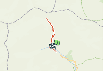
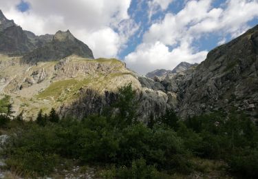
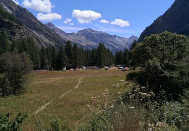
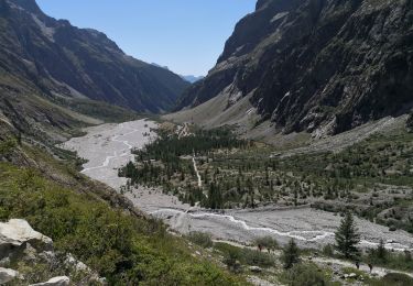
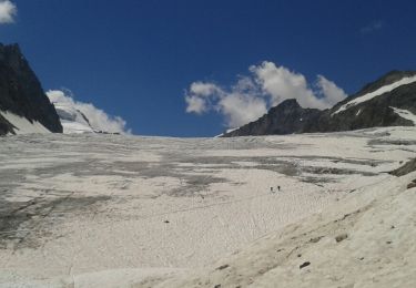
Randonnée Marche de 11,4 km à découvrir à Provence-Alpes-Côte d'Azur, Hautes-Alpes, Vallouise-Pelvoux. Cette randonnée est proposée par scalpy.
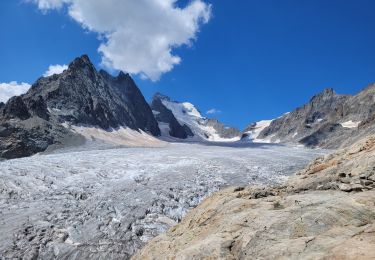
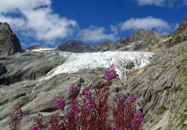
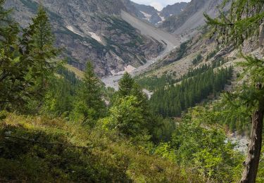
'magnifique ballade au départ du pré de madame Carle. bcp de monde mais la vue sur la glacier et les paysages sont à couper le souffle. une fois passé le refuge on peut continuer en mode randonnée jusqu'à 2900m ensuite ça devient très engagé et réservé aux alpinistes.

Marche
Marche
Marche
Marche
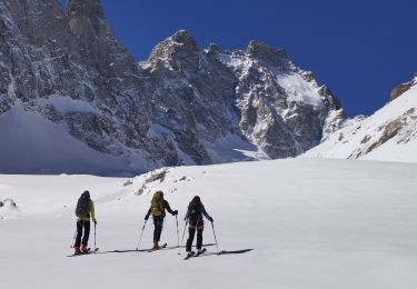
Ski de randonnée
Marche
Marche
Marche
Marche