


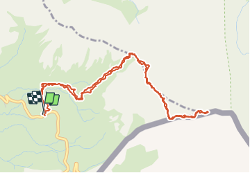

13,1 km | 23 km-effort


Utilisateur


Application GPS de randonnée GRATUITE
 SityTrail
IGN / Instituts géographiques
SityTrail World
Le monde est à vous
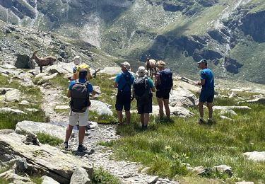
Randonnée Marche de 6,5 km à découvrir à Provence-Alpes-Côte d'Azur, Hautes-Alpes, Molines-en-Queyras. Cette randonnée est proposée par SyMA.
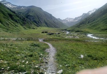
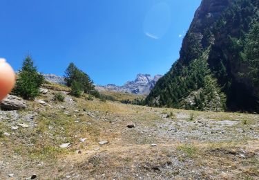
Départ parking au dessus du refuge Agnel avant le col
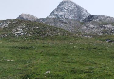
belle rando minerale par col Vieux jusqu'au Pain de Sucre (3208m)


Marche
Marche

Marche

Marche

Marche

Marche
Marche
Marche
Marche