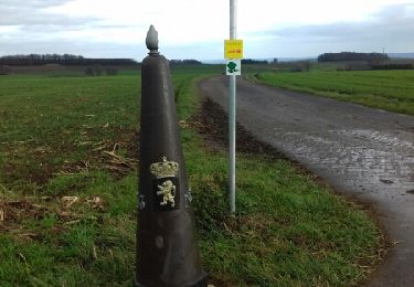
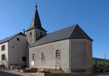
7,8 km | 10,8 km-effort
Wikiloc: Nothomb (PVDB)
Peter.vdbergh
Utilisateur GUIDE
Longueur
11,2 km
Altitude max
460 m
Dénivelé positif
257 m
Km-Effort
14,6 km
Altitude min
290 m
Dénivelé négatif
255 m
Boucle
Oui
Date de création :
2021-08-15 12:39:28.0
Dernière modification :
2021-08-15 20:54:49.928
2h44
Difficulté : Moyen
Application GPS de randonnée GRATUITE
À propos
Randonnée Marche de 11,2 km à découvrir à Wallonie, Luxembourg, Attert. Cette randonnée est proposée par Peter.vdbergh.
Localisation
Pays :
Belgique
Région :
Wallonie
Département/Province :
Luxembourg
Commune :
Attert
Localité :
Unknown
Départ:(Dec)
Départ:(UTM)
700665 ; 5516866 (31U) N.
Commentaires
Randonnées à proximité
Nothomb - Circuit Natura 2000, des sites qui valent le détour - Lx14
Marche
Moyen
(2)
Attert,
Wallonie,
Luxembourg,
Belgique
2h 18min
Oui
nothomb
Marche
Très facile
(1)
Attert,
Wallonie,
Luxembourg,
Belgique
3,9 km | 5,3 km-effort
58min
Non
Auto-pédestre : Ell
A pied
Facile
Ell,
Inconnu,
Canton Redange,
Luxembourg
10,6 km | 13,7 km-effort
3h 6min
Oui
La balade transfrontalière à Oberpallen
A pied
Facile
(1)
Beckerich,
Inconnu,
Canton Redange,
Luxembourg
8,2 km | 9,8 km-effort
2h 13min
Oui
RB-Lu-15_Nobressart_via-racc-1-et-2
Marche
Facile
Attert,
Wallonie,
Luxembourg,
Belgique
15,4 km | 19,4 km-effort
4h 9min
Oui
Autopedestres : Holtz
Marche
Très facile
(1)
Rambrouch,
Inconnu,
Canton Redange,
Luxembourg
8,8 km | 11,9 km-effort
Inconnu
Oui
RB-Lu-15_Nobressart
Marche
Moyen
Attert,
Wallonie,
Luxembourg,
Belgique
18,6 km | 24 km-effort
5h 6min
Oui
Nothomb - Au fil de l'eau
A pied
Facile
Attert,
Wallonie,
Luxembourg,
Belgique
7,7 km | 10,6 km-effort
2h 25min
Oui
Balade transfrontalière autour du château à Colpach
A pied
Facile
Ell,
Inconnu,
Canton Redange,
Luxembourg
12,8 km | 16,1 km-effort
3h 39min
Oui