![](/images/other/stat-length.png)
![Randonnée Marche Saint-Jean-aux-Bois - en Forêt de Compiègne_39_Saint-Jean-aux-Bois_Mont d'Arcy - Photo](https://media.geolcdn.com/t/1900/400/3c417ebf-bdf2-4766-8886-a33a20a9f3eb.jpg&format=pjpeg&maxdim=2)
en Forêt de Compiègne_39_Saint-Jean-aux-Bois_Mont d'Arcy
en forêt de Compiègne
mes randos en forêt
![Longueur](/images/other/stat-length.png)
![Altitude max](https://static1.geolcdn.com/siteimages/upload/files/1508320355ic_sort_altitude_max_24dp.png)
![Dénivelé positif](https://static1.geolcdn.com/siteimages/upload/files/1508320355ic_sort_den_pos_24dp.png)
![Km-Effort](/images/other/stat-length.png)
![Altitude min](https://static1.geolcdn.com/siteimages/upload/files/1508320355ic_sort_altitude_min_24dp.png)
![Dénivelé négatif](https://static1.geolcdn.com/siteimages/upload/files/1508320355ic_sort_den_neg_24dp.png)
![Boucle](https://static1.geolcdn.com/siteimages/upload/files/16400158638029165_repeat_loop_refresh_sync_direction_icon.png)
![Marche](https://static1.geolcdn.com/sitytour/trail-icons/101.png)
5h38
Difficulté : Très difficile
![Scannez ce code QR pour ouvrir la randonnée dans l'application SityTrail](https://capi.geolives.com/qq0zvz2zws4bq2lad0pu/sitytour/trails/2897611/qr.png?size=200)
Application GPS de randonnée GRATUITE
À propos
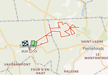
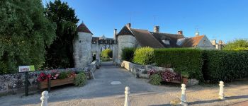
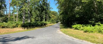
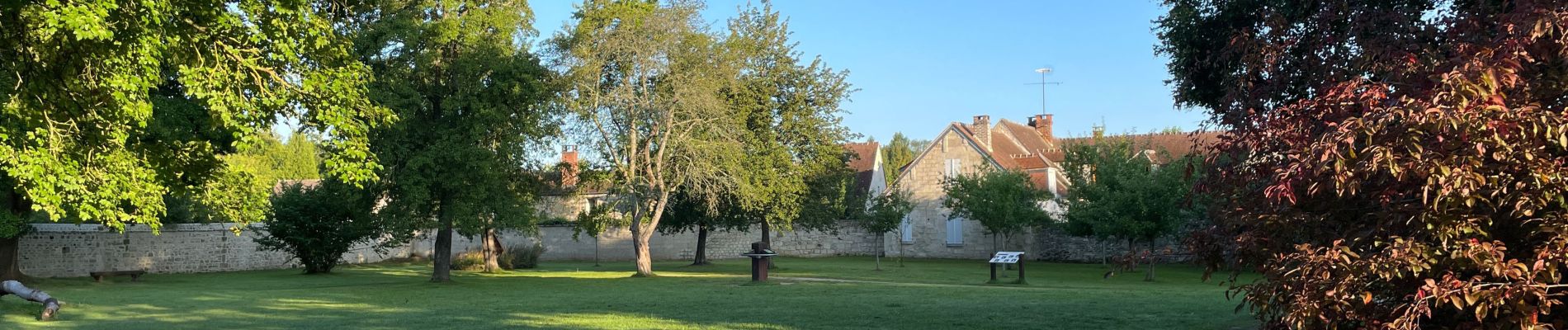
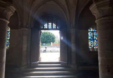
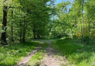
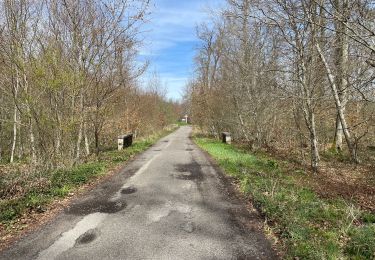
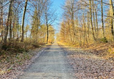
Randonnée Marche de 17,9 km à découvrir à Hauts-de-France, Oise, Saint-Jean-aux-Bois. Cette randonnée est proposée par en forêt de Compiègne.
Description
08/ 2021
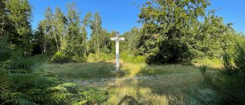
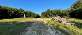
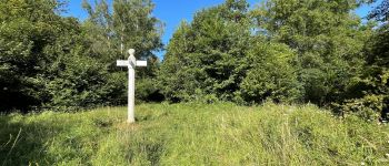
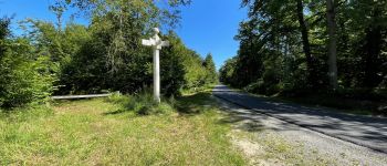
objectif de cette rando: au départ de Saint-Jean-aux-Bois, tourner autour du Mont d'Arcy, du Vivier Payen et balayer une autre fois un certain nombre de carrefours nommés en passant sur des plles du Ru du Pré Tortu, du Ru des Prés de la Ville, du Ru de la Fontaine Porchers et du Ru des Planchettes pour préparer leur description.
voir aussi: //la-foret-de-compiegne.fr/
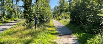
trop compliqué à décrire. Tracé atypique pour cette rando compte tenu des objectifs: voir la carte.
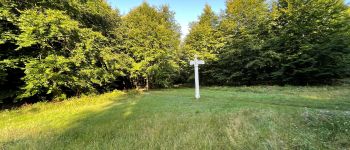
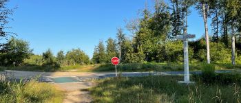
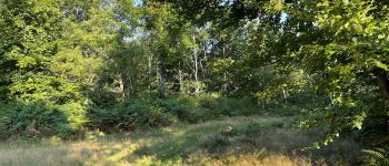
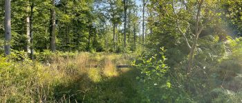
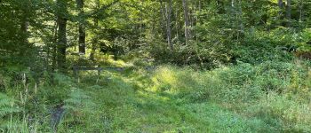
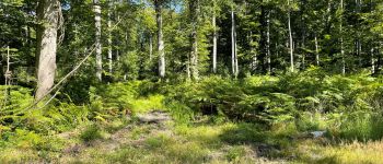
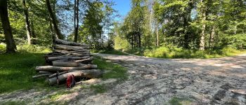
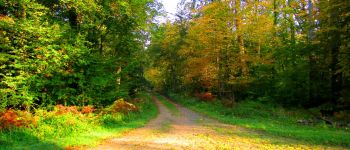
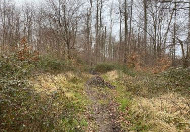
rando classée très difficile: des sentiers ont disparu sous la végétation notamment des fougères. Boue, eau et ronces à l'approche des rus.
batterie pour iphone indispensable.
pantalon long fortement recommandé et bâton.
Points d'intérêt
Localisation
Commentaires
Randonnées à proximité
![Randonnée A pied Pierrefonds - Le Voliard - Photo](https://media.geolcdn.com/t/375/260/4781613a-076f-4ad8-be25-8d021ddb8fa3.jpeg&format=jpg&maxdim=2)
![A pied A pied](https://static1.geolcdn.com/sitytour/trail-icons/100.png)
A pied
![](/images/other/stat-length.png)
![](https://static1.geolcdn.com/siteimages/upload/files/16400158638029165_repeat_loop_refresh_sync_direction_icon.png)
![Randonnée A pied Saint-Jean-aux-Bois - Promenade du Chêne de Saint-Jean - Photo](https://media.geolcdn.com/t/375/260/660f8de9-0f4a-4545-bfd3-d9c82cefa146.jpeg&format=jpg&maxdim=2)
![A pied A pied](https://static1.geolcdn.com/sitytour/trail-icons/100.png)
A pied
![](/images/other/stat-length.png)
![](https://static1.geolcdn.com/siteimages/upload/files/16400158638029165_repeat_loop_refresh_sync_direction_icon.png)
![Randonnée Marche Saint-Jean-aux-Bois - SAINT JEAN AUX BOIS, le village et les bois - Photo](https://media.geolcdn.com/t/375/260/cbd4d574-4b06-4403-8920-57abc85ecbc5.jpg&format=jpg&maxdim=2)
![Marche Marche](https://static1.geolcdn.com/sitytour/trail-icons/101.png)
Marche
![](/images/other/stat-length.png)
![](https://static1.geolcdn.com/siteimages/upload/files/16400158638029165_repeat_loop_refresh_sync_direction_icon.png)
![Randonnée Marche Vieux-Moulin - Rando douce Vieux moulin 14/8/2022 - Photo](https://media.geolcdn.com/t/375/260/ext.jpg?maxdim=2&url=https%3A%2F%2Fstatic1.geolcdn.com%2Fsiteimages%2Fupload%2Ffiles%2F1553511878bg_sport_marche.png)
![Marche Marche](https://static1.geolcdn.com/sitytour/trail-icons/101.png)
Marche
![](/images/other/stat-length.png)
![](https://static1.geolcdn.com/siteimages/upload/files/16400158638029165_repeat_loop_refresh_sync_direction_icon.png)
![Randonnée Marche Vieux-Moulin - Gorges du Han - ATPC ARVAL - Photo](https://media.geolcdn.com/t/375/260/ext.jpg?maxdim=2&url=https%3A%2F%2Fstatic1.geolcdn.com%2Fsiteimages%2Fupload%2Ffiles%2F1553511878bg_sport_marche.png)
![Marche Marche](https://static1.geolcdn.com/sitytour/trail-icons/101.png)
Marche
![](/images/other/stat-length.png)
![](https://static1.geolcdn.com/siteimages/upload/files/16400158638029165_repeat_loop_refresh_sync_direction_icon.png)
![Randonnée Marche Compiègne - en Forêt de Compiègne_50_les Routes des Beaux Monts, de Morpigny et des Nymphes - Photo](https://media.geolcdn.com/t/375/260/9c55d9c0-6825-4d4d-9591-f5323b93b433.jpg&format=jpg&maxdim=2)
![Marche Marche](https://static1.geolcdn.com/sitytour/trail-icons/101.png)
Marche
![](/images/other/stat-length.png)
![](https://static1.geolcdn.com/siteimages/upload/files/16400158638029165_repeat_loop_refresh_sync_direction_icon.png)
![Randonnée Marche Compiègne - en forêt de Compiègne_48_sur les Routes de la Mariolle et du Grand Veneur - Photo](https://media.geolcdn.com/t/375/260/7316114b-cb1c-453b-b79a-8461b3c901b1.jpg&format=jpg&maxdim=2)
![Marche Marche](https://static1.geolcdn.com/sitytour/trail-icons/101.png)
Marche
![](/images/other/stat-length.png)
![](https://static1.geolcdn.com/siteimages/upload/files/16400158638029165_repeat_loop_refresh_sync_direction_icon.png)
![Randonnée Marche Saint-Jean-aux-Bois - Saint Jean au Bois 13,4 km - Photo](https://media.geolcdn.com/t/375/260/ddfb4125-3dc9-462c-8144-537eda5ffbb6.jpg&format=jpg&maxdim=2)
![Marche Marche](https://static1.geolcdn.com/sitytour/trail-icons/101.png)
Marche
![](/images/other/stat-length.png)
![](https://static1.geolcdn.com/siteimages/upload/files/16400158638029165_repeat_loop_refresh_sync_direction_icon.png)
![Marche Marche](https://static1.geolcdn.com/sitytour/trail-icons/101.png)
Marche
![](/images/other/stat-length.png)
![](https://static1.geolcdn.com/siteimages/upload/files/16400158638029165_repeat_loop_refresh_sync_direction_icon.png)