


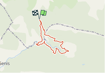


12,1 km | 21 km-effort


Utilisateur


Application GPS de randonnée GRATUITE
 SityTrail
IGN / Instituts géographiques
SityTrail World
Le monde est à vous
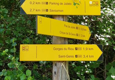
Randonnée Marche de 7 km à découvrir à Provence-Alpes-Côte d'Azur, Hautes-Alpes, Savournon. Cette randonnée est proposée par Thomas Leroux.
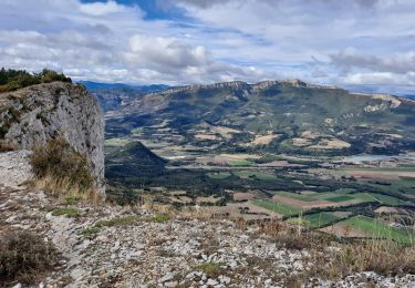
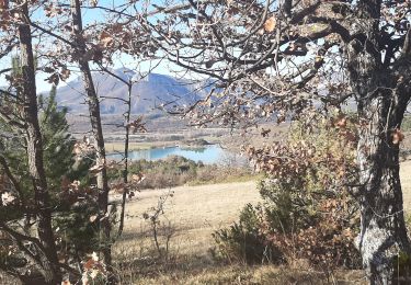
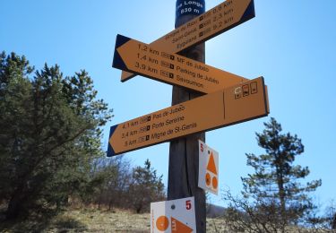
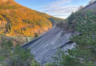
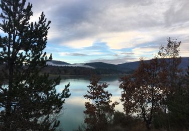
Randonnée proposée par office de tourisme de buech mais assez décevante en terme de vue.. beaucoup de km dans la forêt sans voir grand chose…
A pied
Marche

Marche
Marche
Marche
Marche

V.T.T.
Marche
Marche