


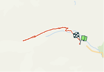

25 km | 58 km-effort


Utilisateur


Application GPS de randonnée GRATUITE
 SityTrail
IGN / Instituts géographiques
SityTrail World
Le monde est à vous
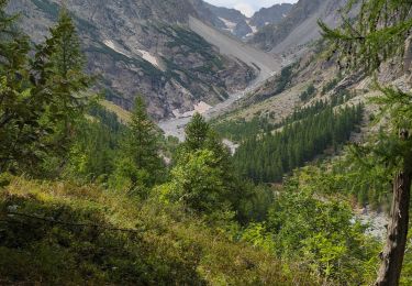
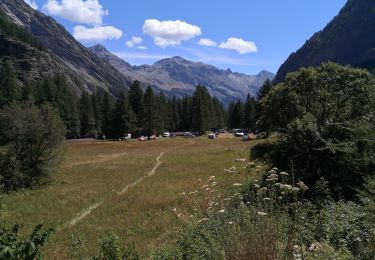
Randonnée Marche de 8,4 km à découvrir à Provence-Alpes-Côte d'Azur, Hautes-Alpes, Vallouise-Pelvoux. Cette randonnée est proposée par SyMA.
Départ Chalet du pré de Mme Carle
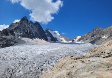
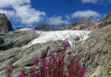
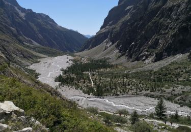
Arrivée: Balmes de Francois Blanc (2445m), le long du glacier noir
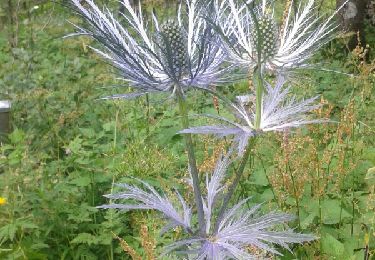
Belle rando sur moraine assez étroite.


Marche
Marche
Marche
Marche
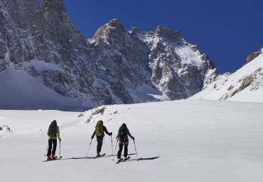
Ski de randonnée
Marche
Marche
Marche
Marche