


6,8 km | 14,4 km-effort

Utilisateur


Application GPS de randonnée GRATUITE
 SityTrail
IGN / Instituts géographiques
SityTrail World
Le monde est à vous
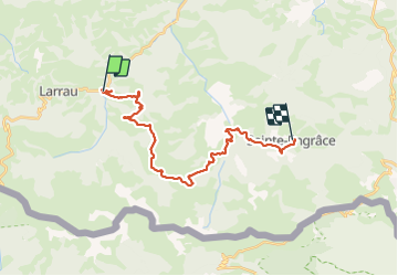
Randonnée Marche de 25 km à découvrir à Nouvelle-Aquitaine, Pyrénées-Atlantiques, Larrau. Cette randonnée est proposée par LEGUE.
25 Km 5h45 1323m de dénivelé positif et 1080m negatif, 4,3 km/h
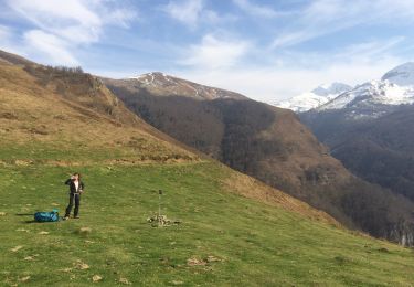
Matinée jusqu’à 11h dans le brouillard, grand beau après
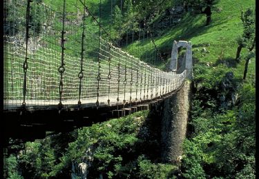
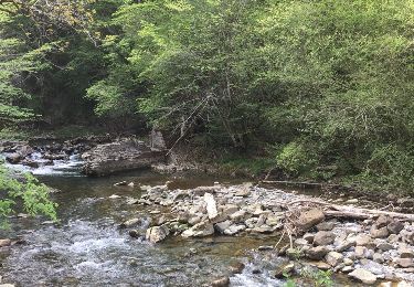
Baignade au pont de l’enfer
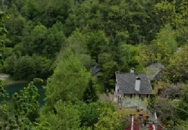
Belle étape


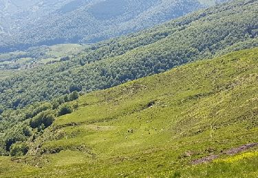
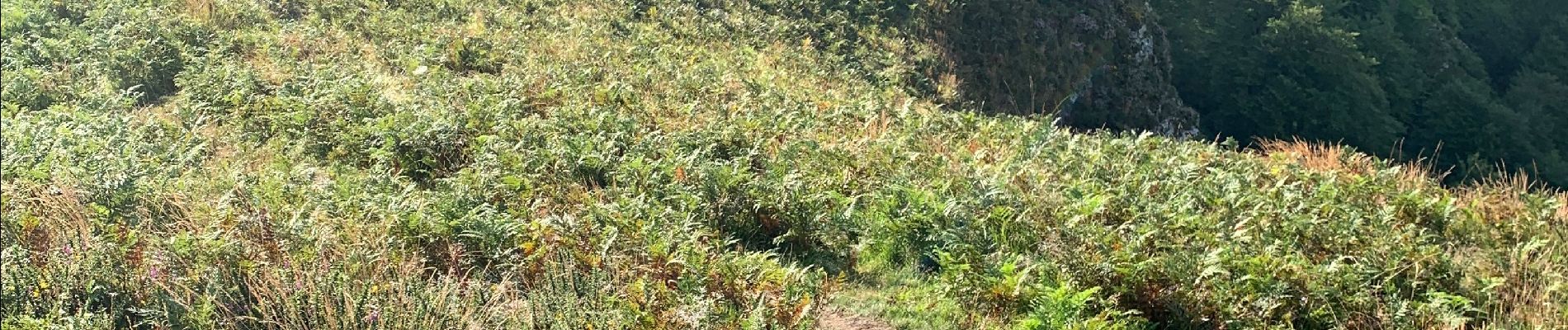
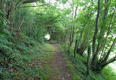
Marche
Marche

Marche
Marche
Marche
Autre activité
Marche

Marche

Autre activité