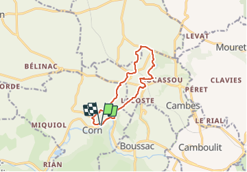

11,7 km | 16,3 km-effort


Utilisateur


Application GPS de randonnée GRATUITE
 SityTrail
IGN / Instituts géographiques
SityTrail World
Le monde est à vous
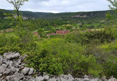
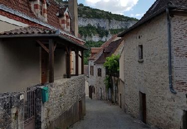
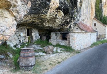
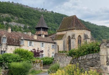
Randonnée Marche de 10,6 km à découvrir à Occitanie, Lot, Corn. Cette randonnée est proposée par sebcar.
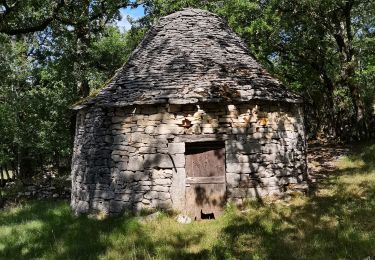
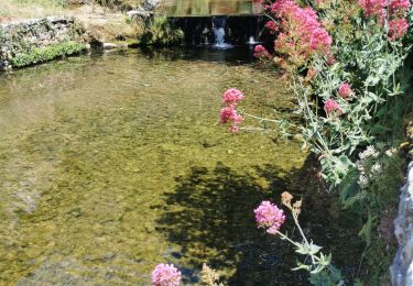
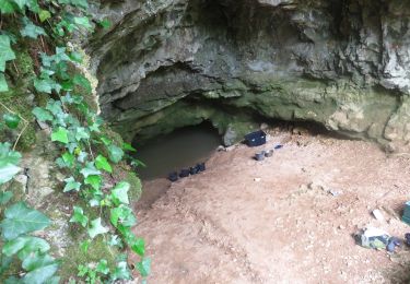
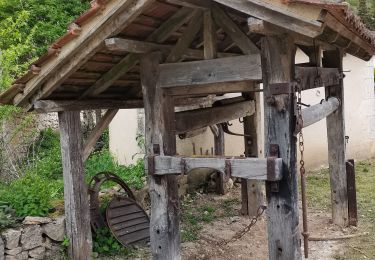
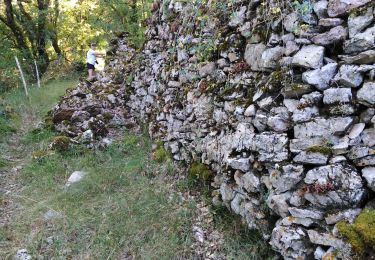
Franchir la faille géologique entre le Causse et la Limargue. Traverser les anciennes carrières d'argile de Puy blanc, lieu de fabrication de la célèbre tuile.
Marche
Marche
Marche
Marche
Marche

sport
Marche