


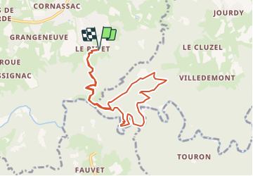

14,9 km | 20 km-effort


Utilisateur


Application GPS de randonnée GRATUITE
 SityTrail
IGN / Instituts géographiques
SityTrail World
Le monde est à vous
Randonnée Marche de 8,6 km à découvrir à Auvergne-Rhône-Alpes, Haute-Loire, Sainte-Sigolène. Cette randonnée est proposée par poneys.
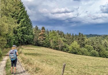
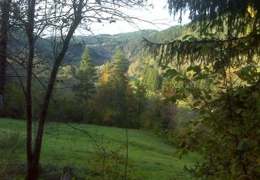
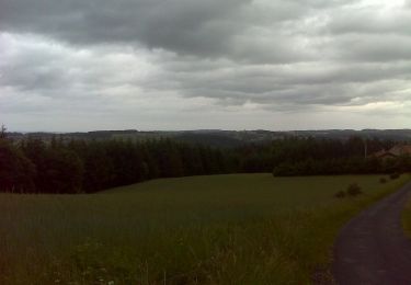
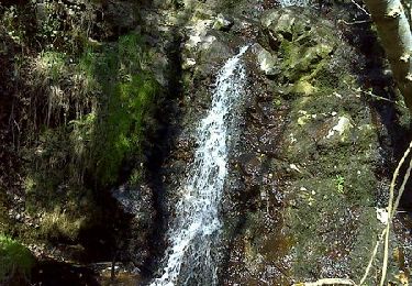
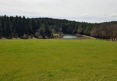
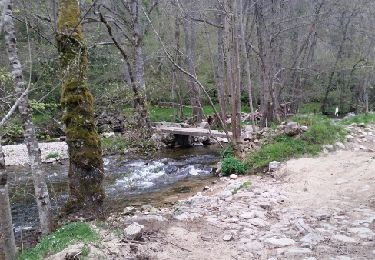
Belle rando avec beaucoup de dénivelé jusqu'à la chapelle St Julien, picnic. Puis descente sur un sentier "hors carte" pour longer la tres belle petite rivière la Dunière.
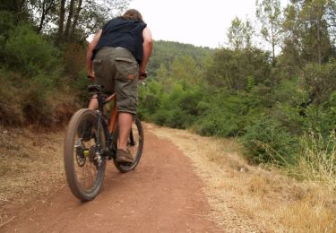
V.T.T.
Marche
Marche
Marche
Marche
Marche
Marche
Marche
Marche