


5,9 km | 10,4 km-effort


Utilisateur


Application GPS de randonnée GRATUITE
 SityTrail
IGN / Instituts géographiques
SityTrail World
Le monde est à vous
Randonnée V.T.T. de 23 km à découvrir à Provence-Alpes-Côte d'Azur, Hautes-Alpes, La Faurie. Cette randonnée est proposée par jcpistono.
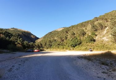
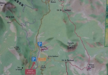
pusteaux-bois des faures-les garibus- crête de la rouye - la valette
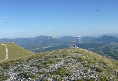
fin de la montée a l'aup tres pentue et caillouteuse sur la ligne de crete
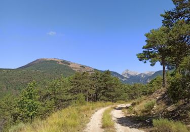
chemin de descente sur me serre des garrats tres accidenté impossible a la montée
descente possible depuis ma cime de l'aup vers le mourre de l'aigle- fontberte-notre dame mais a ne pas faire seul car sentier accidenté au debut
tour facile en vttae : 1h45 de pedalage, 24km, 840mdev

Marche
Marche
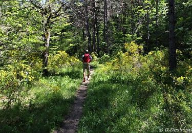
A pied
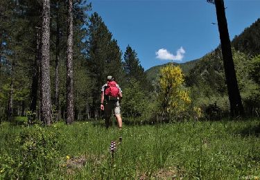
A pied
V.T.T.

V.T.T.
Marche
Marche
Marche