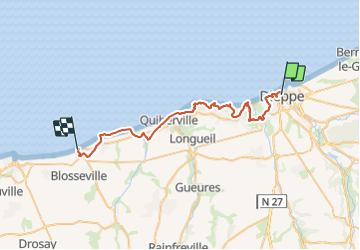

11,7 km | 15,1 km-effort


Utilisateur


Application GPS de randonnée GRATUITE
 SityTrail
IGN / Instituts géographiques
SityTrail World
Le monde est à vous
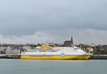
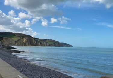
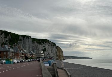
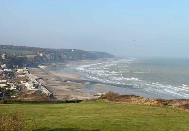
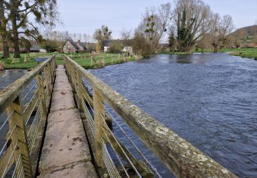
Randonnée Marche de 36 km à découvrir à Normandie, Seine-Maritime, Dieppe. Cette randonnée est proposée par LauRando.
par GR21
possibilité de raccourcir par la plage à marée basse entre Dieppe et Pourville sur mer (-5km) ou/et entre la plage de Pourville sur mer et la plage du petit Ailly (-2km)

Marche
Marche
A pied
Marche
Marche
Marche
Vélo électrique
Marche