


5,9 km | 10,4 km-effort


Utilisateur


Application GPS de randonnée GRATUITE
 SityTrail
IGN / Instituts géographiques
SityTrail World
Le monde est à vous
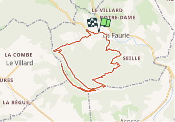
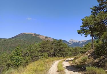
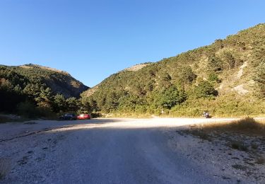
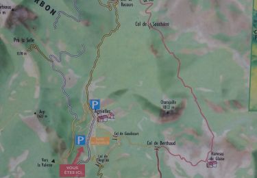
Randonnée V.T.T. de 22 km à découvrir à Provence-Alpes-Côte d'Azur, Hautes-Alpes, La Faurie. Cette randonnée est proposée par jcpistono.
pusteaux - preron - champ du puy - col de margeriès - cretes de la longeagne - col de st andre - pusteaux
22km 840mdev
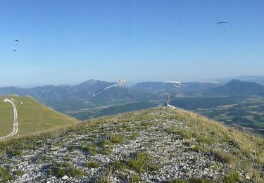
superbe tour
facile en vttae : 1h45 sur le velo

Marche
Marche
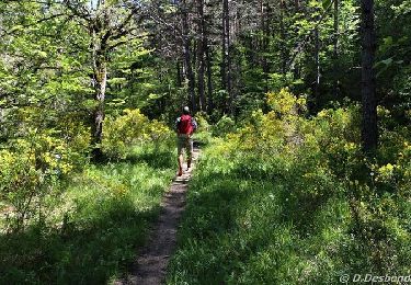
A pied
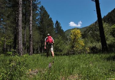
A pied
V.T.T.

V.T.T.
Marche

Marche
Marche