


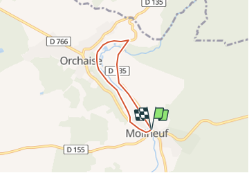

15 km | 18,4 km-effort


Utilisateur


Application GPS de randonnée GRATUITE
 SityTrail
IGN / Instituts géographiques
SityTrail World
Le monde est à vous
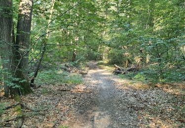
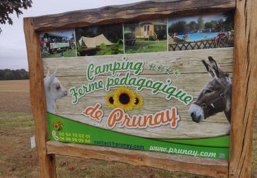
Randonnée Marche de 4,5 km à découvrir à Centre-Val de Loire, Loir-et-Cher, Valencisse. Cette randonnée est proposée par HILLEBRAND.
Facile avec des enfants, y compris avec vélo.
Parcours en partie sur la route et sur un chemin.
Route pas trop circuléee.
Marche

Marche
Marche

A pied
Marche
Marche
Marche
Marche

Marche