


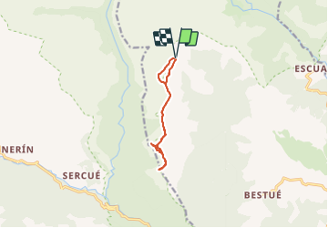

11 km | 18 km-effort

Utilisateur


Application GPS de randonnée GRATUITE
 SityTrail
IGN / Instituts géographiques
SityTrail World
Le monde est à vous
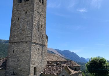
Randonnée Marche de 9,1 km à découvrir à Aragon, Huesca, Puértolas. Cette randonnée est proposée par meunier.ph..
Depuis Escalona 18 km dont 10 km de piste acceptable.
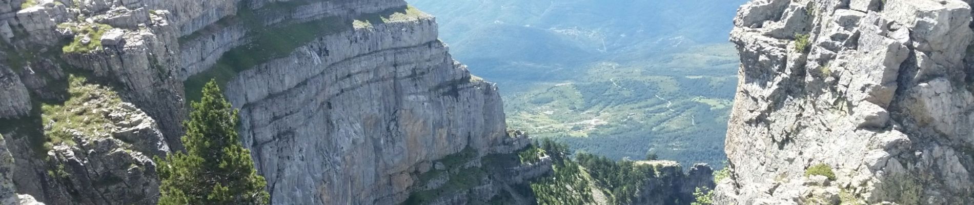
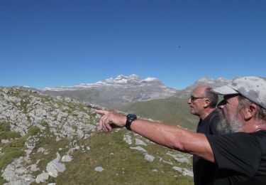
Très beau belvédère sur le cayon d'Anisclo et ses plateaux environnants.
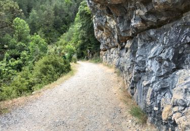
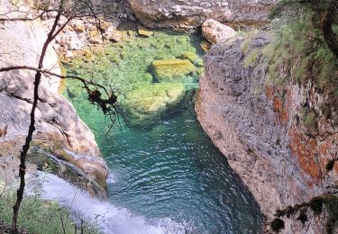
Rando bucolique et reposante.


Marche
Marche
Randonnée équestre
Marche

A pied

Marche
Marche
Marche