


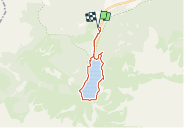

14,7 km | 24 km-effort


Utilisateur


Application GPS de randonnée GRATUITE
 SityTrail
IGN / Instituts géographiques
SityTrail World
Le monde est à vous
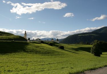
Randonnée Marche de 5,5 km à découvrir à Trentin-Haut-Adige, Haut-Adige, Prags - Braies. Cette randonnée est proposée par MathGds.
Marche autour du lac de Braies dans les Dolomites depuis le parking 1 (6€ la journée)
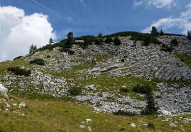
TRÈS TOURISTIQUE, à faire hors saison pour plus de tranquillité
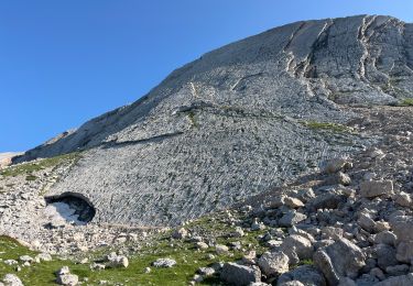
Marche
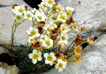
A pied
A pied
A pied
A pied
A pied
A pied