


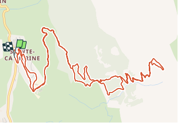

7,7 km | 14,9 km-effort


Utilisateur


Application GPS de randonnée GRATUITE
 SityTrail
IGN / Instituts géographiques
SityTrail World
Le monde est à vous
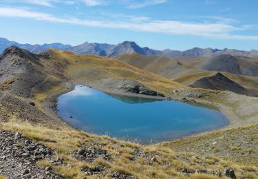
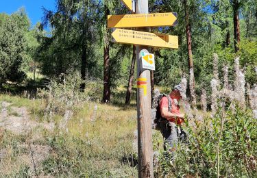
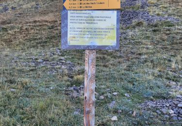
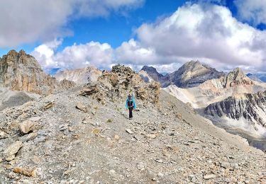
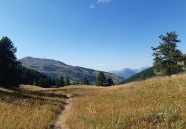
Randonnée Marche de 11,5 km à découvrir à Provence-Alpes-Côte d'Azur, Hautes-Alpes, Vars. Cette randonnée est proposée par qlqin.
Choix entre sentiers et routes de montagnes, pour économiser l'effort et en profiter au max. Superbe vue en haut, beaux panoramas et autres randos potentielles.

Marche

Marche

Marche

Autre activité
Marche
Marche
Marche
Marche
Marche