


4,4 km | 5,3 km-effort

Utilisateur


Application GPS de randonnée GRATUITE
 SityTrail
IGN / Instituts géographiques
SityTrail World
Le monde est à vous
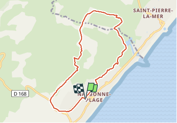
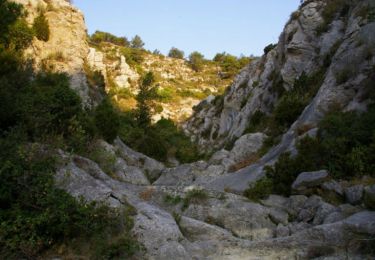
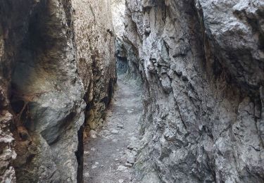
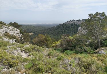
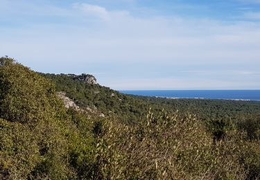
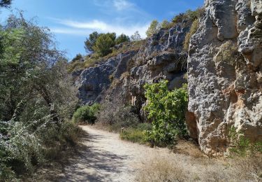
Randonnée Marche de 8,9 km à découvrir à Occitanie, Aude, Narbonne. Cette randonnée est proposée par sippcm.
Petite randonnée
Attention:
- passage plus difficile vers le km 3,5 mais abordable
- zone de haute vigilance sur 200 m vers la fin du trajet (remontée sur 200 m de nationale sans accotements sécurisés


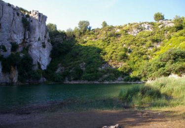
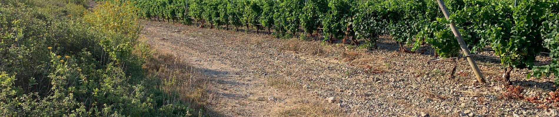
Marche
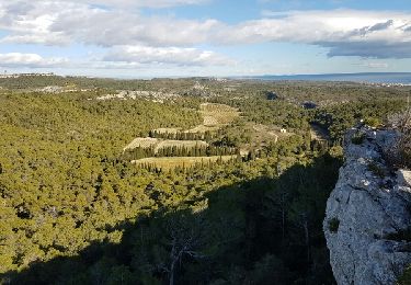
Marche
Marche
Marche
Marche
Marche
Marche
V.T.T.