


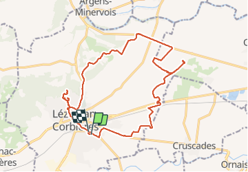


21 km | 24 km-effort

Utilisateur


Application GPS de randonnée GRATUITE
 SityTrail
IGN / Instituts géographiques
SityTrail World
Le monde est à vous
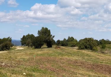
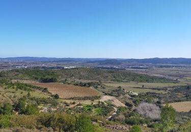
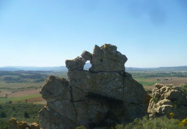
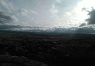
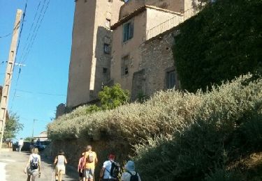
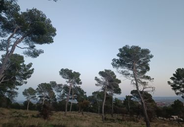
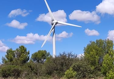
Randonnée Marche de 23 km à découvrir à Occitanie, Aude, Lézignan-Corbières. Cette randonnée est proposée par jacques delaporte.
Sympathique randonnée pour la première dans L'Aude.
L'avenir est prometteur ! 😝


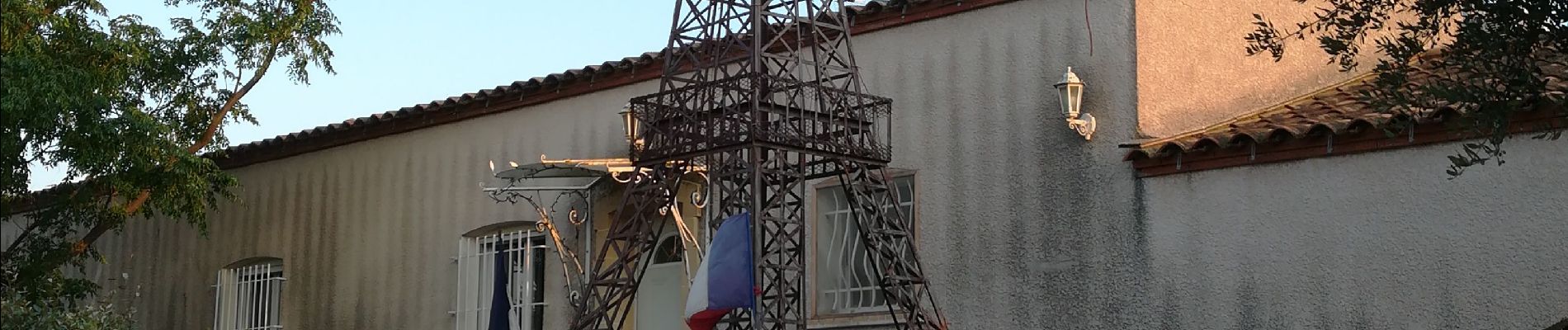
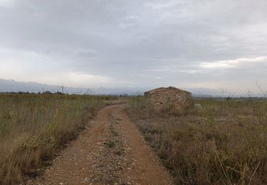
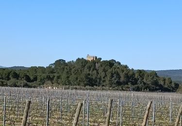
51 photos au total. Cliquez sur une photo pour les afficher toutes dans la galerie.
Marche
Marche
Marche
Marche
Marche
Marche
Marche
Marche
Marche