


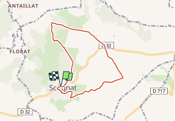

8,9 km | 13,2 km-effort

Utilisateur GUIDE


Application GPS de randonnée GRATUITE
 SityTrail
IGN / Instituts géographiques
SityTrail World
Le monde est à vous
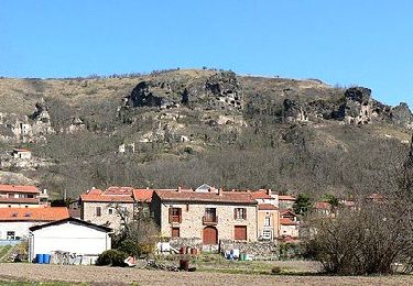
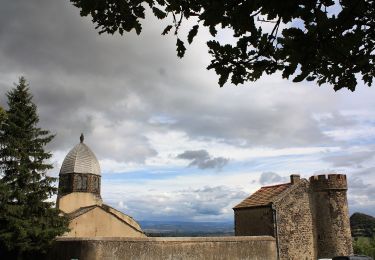
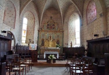
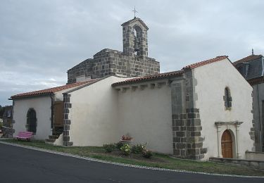
Randonnée Marche de 7,3 km à découvrir à Auvergne-Rhône-Alpes, Puy-de-Dôme, Solignat. Cette randonnée est proposée par jagarnier.
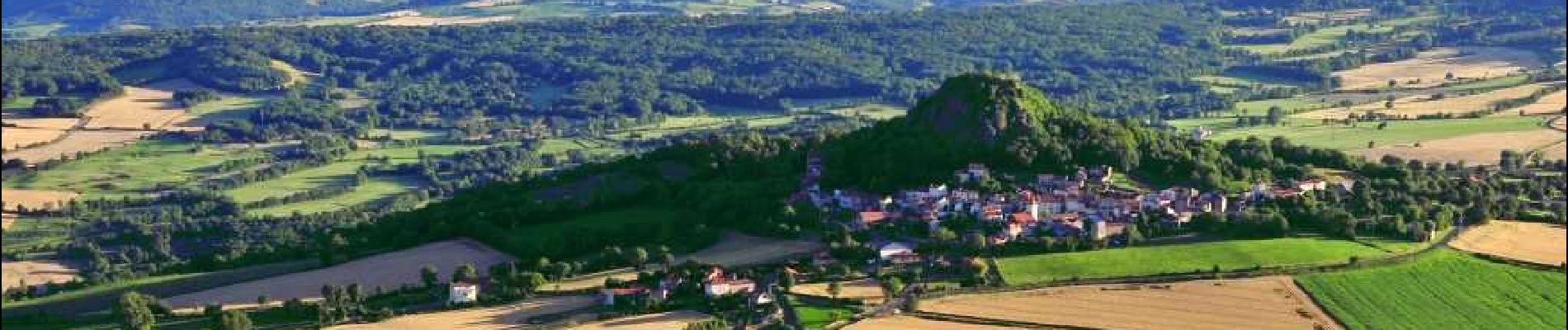
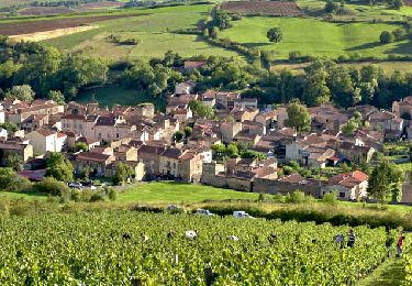
Randonnée facile dans un paysage vallonné offrant de très belles vues tantôt sur de larges vallées au relief émoussé quadrillées de taches de couleur, reflet de la variété des cultures, tantôt sur d'anciens volcans, mamelons parsemés dans le panorama.

Marche
Marche
Marche
A pied
A pied
A pied
A pied
A pied
A pied