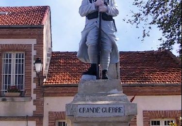
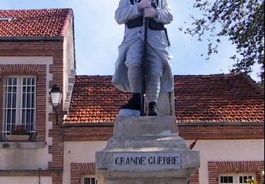
18,8 km | 23 km-effort
Limites commune Auterive
manu3626
Utilisateur
Longueur
32 km
Altitude max
296 m
Dénivelé positif
422 m
Km-Effort
37 km
Altitude min
174 m
Dénivelé négatif
420 m
Boucle
Oui
Date de création :
2021-07-25 09:33:28.842
Dernière modification :
2021-09-13 19:55:38.157
8h30
Difficulté : Très difficile
Application GPS de randonnée GRATUITE
À propos
Randonnée Marche de 32 km à découvrir à Occitanie, Haute-Garonne, Mauvaisin. Cette randonnée est proposée par manu3626.
Localisation
Pays :
France
Région :
Occitanie
Département/Province :
Haute-Garonne
Commune :
Mauvaisin
Localité :
Unknown
Départ:(Dec)
Départ:(UTM)
378997 ; 4801492 (31T) N.
Commentaires
Randonnées à proximité
Une bonne sueur à St Léon...
Course à pied
Difficile
(1)
Saint-Léon,
Occitanie,
Haute-Garonne,
France
1h 15min
Oui
Une bonne sueur à St Léon...
Marche
Difficile
(1)
Saint-Léon,
Occitanie,
Haute-Garonne,
France
18,8 km | 23 km-effort
5h 39min
Oui
balade Vimines le 01-01-2023
Marche
Moyen
Auterive,
Occitanie,
Haute-Garonne,
France
5,9 km | 7,2 km-effort
1h 12min
Oui
grazac grand bosc
Marche
Moyen
Grazac,
Occitanie,
Haute-Garonne,
France
8,3 km | 10,6 km-effort
2h 50min
Oui
marche Sant et lions Auterive
Marche
Très facile
Auterive,
Occitanie,
Haute-Garonne,
France
7,8 km | 8,2 km-effort
1h 40min
Non
cintegabelle avec les cousines
Course à pied
Très facile
Cintegabelle,
Occitanie,
Haute-Garonne,
France
8,5 km | 10 km-effort
57min
Oui
Autour de saint LEON
Vélo
Facile
Saint-Léon,
Occitanie,
Haute-Garonne,
France
19,6 km | 24 km-effort
Inconnu
Oui
St Léon circuit3
Marche
Facile
Saint-Léon,
Occitanie,
Haute-Garonne,
France
6,4 km | 8,2 km-effort
1h 45min
Oui
St Léon circuit2
Marche
Facile
Saint-Léon,
Occitanie,
Haute-Garonne,
France
7,3 km | 9,3 km-effort
1h 59min
Oui