


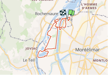

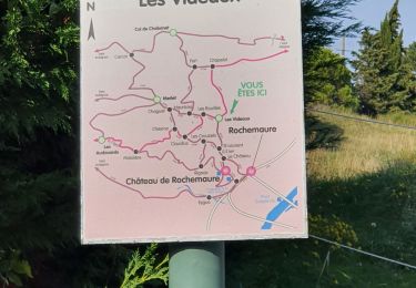
15 km | 23 km-effort


Utilisateur


Application GPS de randonnée GRATUITE
 SityTrail
IGN / Instituts géographiques
SityTrail World
Le monde est à vous
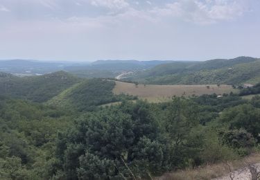
Randonnée Vélo de 16,1 km à découvrir à Auvergne-Rhône-Alpes, Drôme, Ancône. Cette randonnée est proposée par lulubarteam.
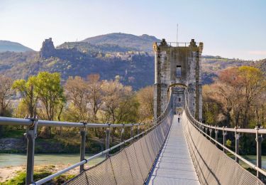
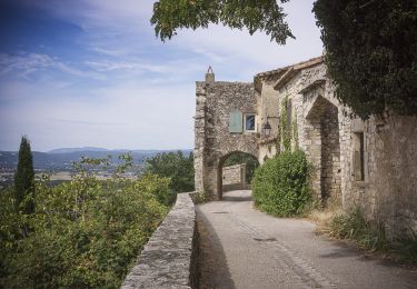
Découvrez le milieu aquatique particulier du Rhône au départ d'un village aux riches histoires de bateliers…
Départ: Salle des fêtes, Place Albert Goujon
26200 Ancône
Marche
Marche
Marche
Marche
Marche
Marche

Marche
Marche

Marche nordique