


18,4 km | 24 km-effort

Utilisateur


Application GPS de randonnée GRATUITE
 SityTrail
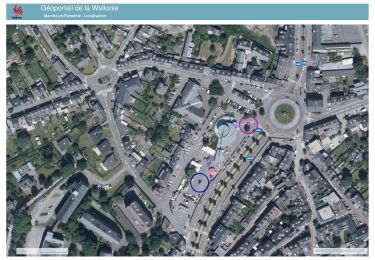
IGN / Instituts géographiques
SityTrail World
Le monde est à vous
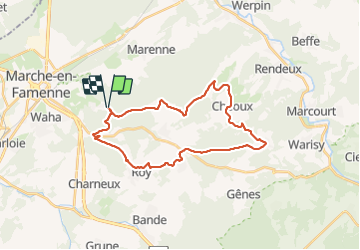
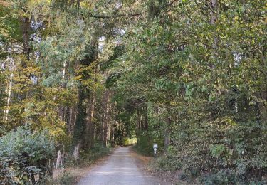
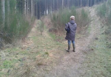
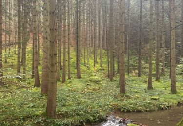
Randonnée Marche de 27 km à découvrir à Wallonie, Luxembourg, Marche-en-Famenne. Cette randonnée est proposée par JEANMINNE.
Champlon Famenne-Corot-Le Sarteau-Aux Hesses-Tier de Marche-Croix N.D. des Champs-Come-Cheoux-Roubiereu-Hodister-Lignieres-Roy-Les Rochettes-Bois des Spiroux-Champlon Famenne


Marche
Marche
Marche

Marche
Marche

Marche
Marche
Marche
Marche