


4,3 km | 10,4 km-effort

Utilisateur


Application GPS de randonnée GRATUITE
 SityTrail
IGN / Instituts géographiques
SityTrail World
Le monde est à vous
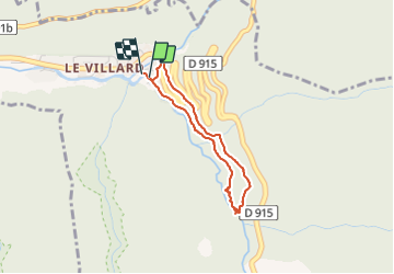
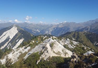
Randonnée Marche de 2,8 km à découvrir à Auvergne-Rhône-Alpes, Savoie, Planay. Cette randonnée est proposée par whisper73.
Petite rando mais spectaculaire. Avec les gorges de Ballandaz sur le Doron de Pralognan.
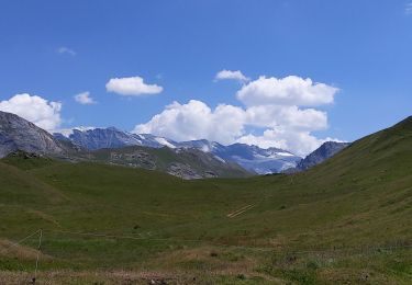
On longe tout d'abord une vieille canalisation hydraulique, puis on arrive sur la gorge avec une avancée métallique en caillebotis juste au dessus de l'eau. Un peu de frisson. On admire le travail de l'eau sur les roches.
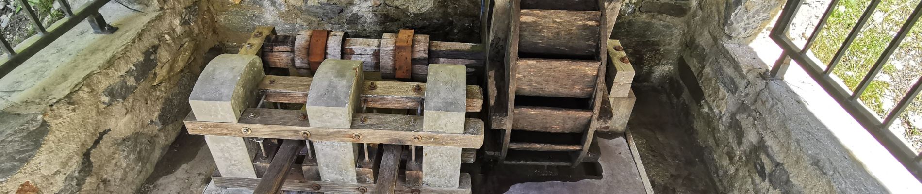
On redescend par une large piste ou l'on peut voir une maquette de roue hydraulique. On peut finir la rando par la visite du musée Hydraulica à Villard.
Une rando à faire en période chaude.


Marche
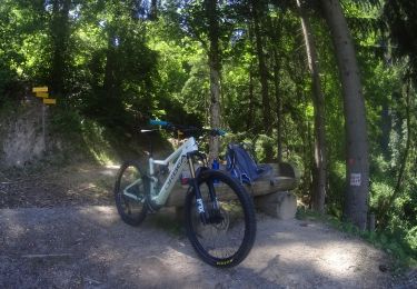
V.T.T.
Marche

Marche
Marche
Marche
Marche
Marche
Marche