


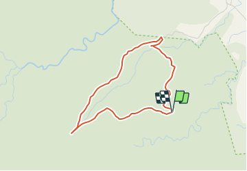

11,3 km | 22 km-effort

Utilisateur


Application GPS de randonnée GRATUITE
 SityTrail
IGN / Instituts géographiques
SityTrail World
Le monde est à vous
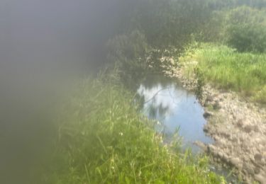
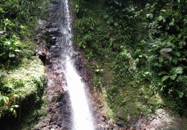
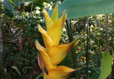
Randonnée Marche de 5 km à découvrir à Guadeloupe, Inconnu, Sainte-Rose. Cette randonnée est proposée par Yannick971.
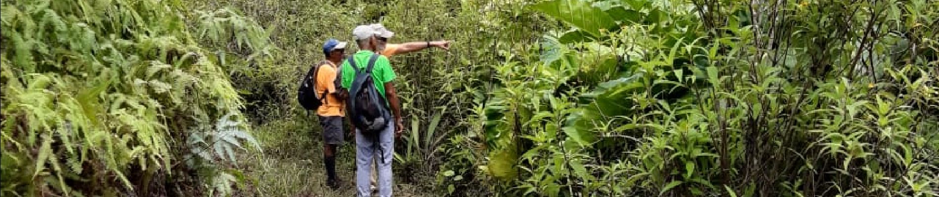
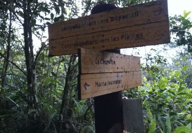
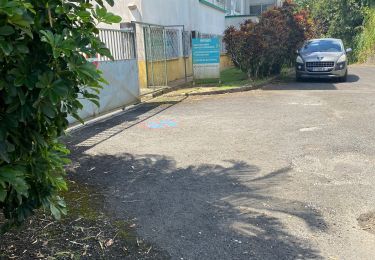
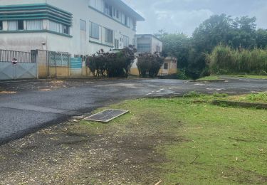
Une petite boucle à partir de la Trace des contrebandiers jusqu'au 1° pylône . Départ et retour au parking ( pas comme sur la carte)


Marche
Marche
Marche
Trail
Marche
Trail
Marche nordique