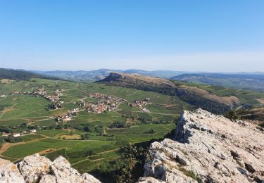
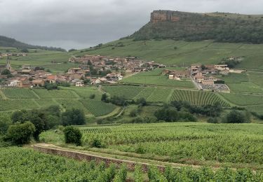
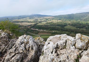
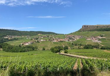
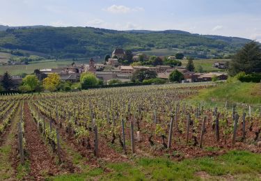
8,4 km | 12,2 km-effort
Solutré 07/21
Bonsaicd
Utilisateur
Longueur
15,7 km
Altitude max
632 m
Dénivelé positif
600 m
Km-Effort
24 km
Altitude min
291 m
Dénivelé négatif
602 m
Boucle
Oui
Date de création :
2021-07-12 15:59:36.495
Dernière modification :
2021-07-12 16:00:08.451
5h22
Difficulté : Très difficile
Application GPS de randonnée GRATUITE
À propos
Randonnée Marche de 15,7 km à découvrir à Bourgogne-Franche-Comté, Saône-et-Loire, Solutré-Pouilly. Cette randonnée est proposée par Bonsaicd.
Localisation
Pays :
France
Région :
Bourgogne-Franche-Comté
Département/Province :
Saône-et-Loire
Commune :
Solutré-Pouilly
Localité :
Unknown
Départ:(Dec)
Départ:(UTM)
632805 ; 5128399 (31T) N.
Commentaires
Randonnées à proximité
Mâcon - Sentier des crêtes 16/02/2020
Marche
Facile
(1)
Solutré-Pouilly,
Bourgogne-Franche-Comté,
Saône-et-Loire,
France
2h 11min
Oui
Roche de Solutré 4km
Marche
Facile
(1)
Solutré-Pouilly,
Bourgogne-Franche-Comté,
Saône-et-Loire,
France
3,7 km | 5,5 km-effort
2h 0min
Oui
RTT 2015 SAMEDI
V.T.T.
Difficile
(2)
Serrières,
Bourgogne-Franche-Comté,
Saône-et-Loire,
France
66 km | 98 km-effort
6h 7min
Oui
Chateau de Pierreclos - Bourgogne - Aout 2012
Marche
Facile
(1)
Pierreclos,
Bourgogne-Franche-Comté,
Saône-et-Loire,
France
18,4 km | 26 km-effort
4h 39min
Oui
roche de soluté, roche de Vergisson
Marche
Difficile
Solutré-Pouilly,
Bourgogne-Franche-Comté,
Saône-et-Loire,
France
11,2 km | 17,4 km-effort
4h 38min
Oui
Vergisson Les deux Roches page 76
Marche
Très difficile
Vergisson,
Bourgogne-Franche-Comté,
Saône-et-Loire,
France
15,2 km | 22 km-effort
5h 4min
Oui
La roche de Solutré
Marche
Facile
Solutré-Pouilly,
Bourgogne-Franche-Comté,
Saône-et-Loire,
France
3,4 km | 4,8 km-effort
1h 17min
Oui
Roche de solutré
Marche
Difficile
Davayé,
Bourgogne-Franche-Comté,
Saône-et-Loire,
France
10,5 km | 16,5 km-effort
3h 54min
Oui
LEYNES 71
Marche
Difficile
Leynes,
Bourgogne-Franche-Comté,
Saône-et-Loire,
France
9,5 km | 12,7 km-effort
2h 38min
Oui