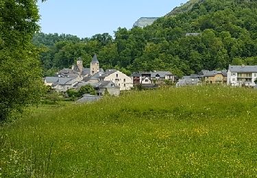
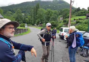
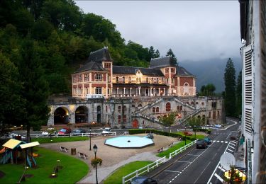
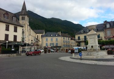
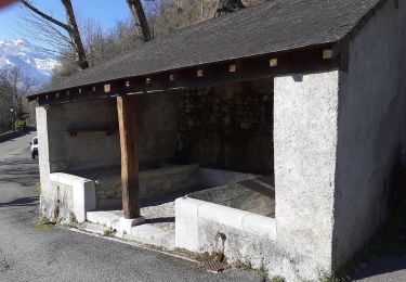
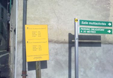
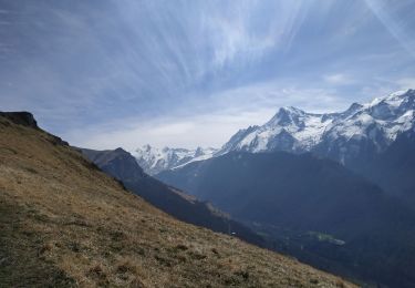
Randonnée  Laruns - Boucle-Pic-Ansabere: 02-08-2018 - Photo
 chasle
chasle

Utilisateur

© OpenStreetMap contributors
Longueur
Longueur
13 km
Altitude max
Altitude max
1737 m
Dénivelé positif
Dénivelé positif
955 m
Km-Effort
Km-Effort  
26 km
Altitude min
Altitude min
854 m
Dénivelé négatif
Dénivelé négatif
949 m
Boucle
Boucle
Oui
Date de création :
2021-07-12 07:19:17.298
Dernière modification :
2021-07-12 07:30:59.368

(0 Avis)


Scannez ce code QR pour ouvrir la randonnée dans l'application SityTrail

Application GPS de randonnée GRATUITE

Logo SityTrail SityTrail

IGN / Instituts géographiques

Télécharger SityTrail sur l'App Store Télécharger SityTrail sur Google Play

Logo SityTrail SityTrail World

Le monde est à vous

Télécharger SityTrail sur l'App Store Télécharger SityTrail sur Google Play Télécharger SityTrail sur Huawei AppGallery

À propos

Randonnée de 13 km à découvrir à Nouvelle-Aquitaine, Pyrénées-Atlantiques, Laruns. Cette randonnée est proposée par chasle.

Profil altimétrique

Points d'intérêt

Point d'intérêt Lescun - pont Lamary 1171m - Photo
chasle
Point d'intérêt Lescun - Pierrier-1980m - Photo
chasle
Point d'intérêt Ansó - Pic-Mouscaté - Photo
chasle
Point d'intérêt Lescun - Parking Masousa 960m - Photo
chasle
Point d'intérêt Ansó - Croisement-2352m - Photo
chasle
Point d'intérêt Ansó - Croisement-2220m - Photo
chasle
Point d'intérêt Ansó - Croisement-2207m - Photo
chasle
Point d'intérêt Ansó - Croisement-2156m - Photo
chasle
Point d'intérêt Ansó - Croisement-2120m - Photo
chasle
Point d'intérêt Lescun - croisement-1974m - Photo
chasle
Point d'intérêt Lescun - Croisement-1364m - Photo
chasle
Point d'intérêt Lescun - Col-de-Petracheme - Photo
chasle
Point d'intérêt Ansó - Bivouac - Photo
chasle
ANSÓ 

Localisation

Pays :
France
Région :
Nouvelle-Aquitaine
Département/Province :
Pyrénées-Atlantiques
Commune :
Laruns
Localité :
Unknown
Départ:(Dec)
Départ:(UTM)
708170 ; 4758601 (30T) N.

Randonnées à proximité

Randonnée Marche Béost - Béost - Photo
Marche
swp648

Marche

Facile
(1)
Béost, Nouvelle-Aquitaine, Pyrénées-Atlantiques, France
6 km | 9,9 km-effort
2h 59min
Oui
Randonnée Marche Laruns - LARUNS le tour du valentin G3
Marche
GUIDE
marmotte65

Marche

Difficile
Laruns, Nouvelle-Aquitaine, Pyrénées-Atlantiques, France
9,1 km | 14,7 km-effort
3h 20min
Oui
Randonnée A pied Eaux-Bonnes - La promenade horizontale - Photo
A pied
GUIDE+

A pied

Facile
Eaux-Bonnes, Nouvelle-Aquitaine, Pyrénées-Atlantiques, France
3,5 km | 5,3 km-effort
1h 12min
Oui
Randonnée A pied Eaux-Bonnes - Les thermes - Photo
A pied
GUIDE+

A pied

Facile
Eaux-Bonnes, Nouvelle-Aquitaine, Pyrénées-Atlantiques, France
3,6 km | 5,9 km-effort
1h 20min
Oui
Randonnée A pied Laruns - L'eau - Photo
A pied
GUIDE+

A pied

Facile
Laruns, Nouvelle-Aquitaine, Pyrénées-Atlantiques, France
4,8 km | 5,9 km-effort
1h 20min
Oui
Randonnée A pied Eaux-Bonnes - La montagne verte - Photo
A pied
GUIDE+

A pied

Facile
Eaux-Bonnes, Nouvelle-Aquitaine, Pyrénées-Atlantiques, France
10,4 km | 17,8 km-effort
4h 2min
Oui
Randonnée A pied Béost - La promenade des trois villages - Photo
A pied
GUIDE+

A pied

Facile
Béost, Nouvelle-Aquitaine, Pyrénées-Atlantiques, France
5,1 km | 8,6 km-effort
1h 56min
Oui
Randonnée Marche Béost - La montagne verte - Photo
Marche
herve.feurprier

Marche

Facile
(1)
Béost, Nouvelle-Aquitaine, Pyrénées-Atlantiques, France
12,9 km | 22 km-effort
4h 40min
Oui
Randonnée Marche Laruns - chemin des fenetres - Photo
Marche
mongo

Marche

Facile
(1)
Laruns, Nouvelle-Aquitaine, Pyrénées-Atlantiques, France
8 km | 14,1 km-effort
3h 0min
Non


Fermer
Mes abonnements